Distance to Palmetto, Georgia

Calculating Your Route
Just a moment while we process your request...
Location Information
-
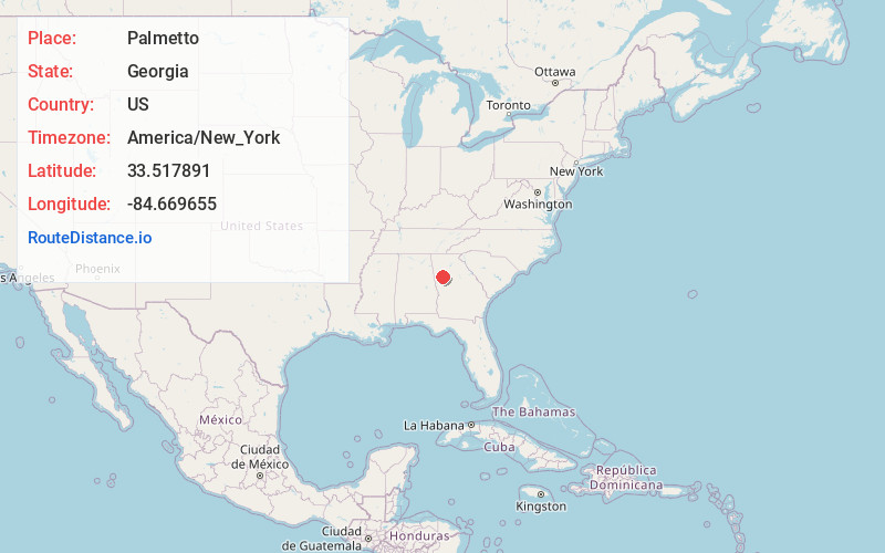
Full AddressPalmetto, GA
-
Coordinates33.5178907, -84.6696548
-
LocationPalmetto , Georgia , US
-
TimezoneAmerica/New_York
-
Current Local Time1:04:58 PM America/New_YorkMonday, June 16, 2025
-
Page Views0
About Palmetto
Palmetto is a city located mostly in Fulton County and now partly in Coweta County in the U.S. state of Georgia. The population was 5,071 at the 2020 census.


Nearby Places
Found 10 places within 50 miles

Tyrone
5.3 mi
8.5 km
Tyrone, GA
Get directions

Fairburn
6.1 mi
9.8 km
Fairburn, GA
Get directions

Union City
8.7 mi
14.0 km
Union City, GA
Get directions

South Fulton
10.0 mi
16.1 km
South Fulton, GA
Get directions

Newnan
12.1 mi
19.5 km
Newnan, GA
Get directions

Fayetteville
13.3 mi
21.4 km
Fayetteville, GA
Get directions

Riverdale
15.2 mi
24.5 km
Riverdale, GA
Get directions

College Park
15.8 mi
25.4 km
College Park, GA
Get directions

Senoia
16.3 mi
26.2 km
Senoia, GA 30276
Get directions

Douglasville
16.8 mi
27.0 km
Douglasville, GA
Get directions
Location Links
Local Weather
Weather Information
Coming soon!
Location Map
Static map view of Palmetto, Georgia
Browse Places by Distance
Places within specific distances from Palmetto
Short Distances
Long Distances
Click any distance to see all places within that range from Palmetto. Distances shown in miles (1 mile ≈ 1.61 kilometers).