Distance to Pandora, Texas

Calculating Your Route
Just a moment while we process your request...
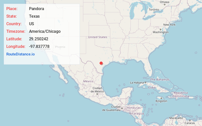
Location Information
-
Full AddressPandora, TX 78160
-
Coordinates29.250242, -97.8377781
-
LocationPandora , Texas , US
-
TimezoneAmerica/Chicago
-
Current Local Time10:43:27 AM America/ChicagoFriday, June 20, 2025
-
Page Views0
About Pandora
Pandora is an unincorporated community in Wilson County, Texas, United States. According to the Handbook of Texas, the community had an estimated population of 125 in 2000. Pandora is part of the San Antonio Metropolitan Statistical Area.

Nearby Places
Found 10 places within 50 miles

Nixon
4.6 mi
7.4 km
Nixon, TX 78140
Get directions

Stockdale
7.4 mi
11.9 km
Stockdale, TX 78160
Get directions

Leesville
12.2 mi
19.6 km
Leesville, TX 78122
Get directions

Smiley
12.2 mi
19.6 km
Smiley, TX
Get directions

Sutherland Springs
13.3 mi
21.4 km
Sutherland Springs, TX 78161
Get directions
Pawelekville
14.8 mi
23.8 km
Pawelekville, TX 78113
Get directions

La Vernia
18.3 mi
29.5 km
La Vernia, TX 78121
Get directions
Wrightsboro
18.5 mi
29.8 km
Wrightsboro, TX 78629
Get directions
Poth
19.3 mi
31.1 km
Poth, TX
Get directions
Gruenau
20.5 mi
33.0 km
Gruenau, TX 78164
Get directions
Location Links
Local Weather
Weather Information
Coming soon!
Location Map
Static map view of Pandora, Texas
Browse Places by Distance
Places within specific distances from Pandora
Short Distances
Long Distances
Click any distance to see all places within that range from Pandora. Distances shown in miles (1 mile ≈ 1.61 kilometers).