Distance to Pasley, Missouri

Calculating Your Route
Just a moment while we process your request...
Location Information
-
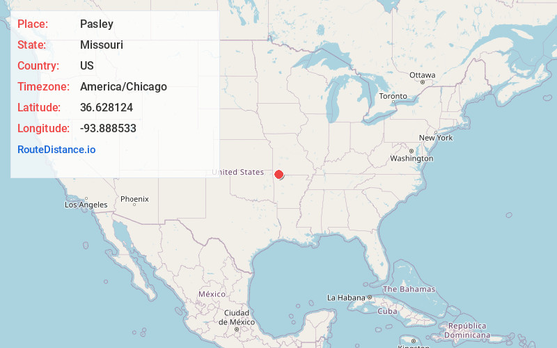
Full AddressPasley, Flat Creek Township, MO 65625
-
Coordinates36.6281236, -93.8885332
-
LocationFlat Creek Township , Missouri , US
-
TimezoneAmerica/Chicago
-
Current Local Time6:08:14 PM America/ChicagoThursday, June 26, 2025
-
Page Views0
About Pasley
Pasley is an unincorporated community in Barry County, Missouri, United States. Pasley was originally known as Milwaukee after a store in the community; after a fire destroyed the store in the 1930s, the name was changed to Pasley for a local school.
Nearby Places
Found 10 places within 50 miles

Hilltop
2.5 mi
4.0 km
Hilltop, Flat Creek Township, MO 65625
Get directions

Cassville
3.7 mi
6.0 km
Cassville, MO 65625
Get directions

Exeter
4.2 mi
6.8 km
Exeter, MO 65647
Get directions
Washburn
5.2 mi
8.4 km
Washburn, MO
Get directions
Seligman
7.4 mi
11.9 km
Seligman, MO 65745
Get directions
Butterfield
8.3 mi
13.4 km
Butterfield, MO
Get directions

Eagle Rock
9.3 mi
15.0 km
Eagle Rock, MO 65641
Get directions
Burtonville
9.7 mi
15.6 km
Burtonville, Corsicana Township, MO 65625
Get directions
Gateway
9.8 mi
15.8 km
Gateway, AR
Get directions
Star City
10.7 mi
17.2 km
Star City, McDonald Township, MO 65625
Get directions
Location Links
Local Weather
Weather Information
Coming soon!
Location Map
Static map view of Pasley, Missouri
Browse Places by Distance
Places within specific distances from Pasley
Short Distances
Long Distances
Click any distance to see all places within that range from Pasley. Distances shown in miles (1 mile ≈ 1.61 kilometers).