Distance to Pats Peak Ski Area, New Hampshire

Calculating Your Route
Just a moment while we process your request...
Location Information
-
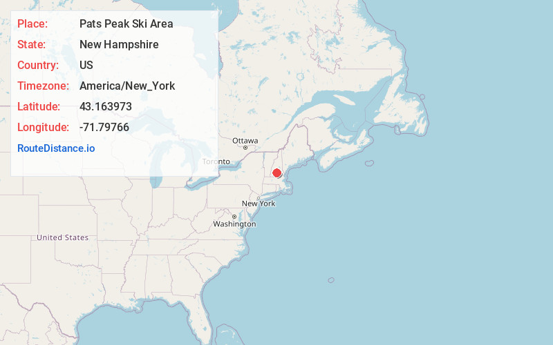
Full AddressPats Peak Ski Area, 686 Flanders Rd, Henniker, NH 03242
-
Coordinates43.1639733, -71.7976596
-
Street686 Flanders Rd
-
LocationHenniker , New Hampshire , US
-
TimezoneAmerica/New_York
-
Current Local Time10:56:21 PM America/New_YorkSunday, May 18, 2025
-
Website
-
Page Views0
About Pats Peak Ski Area
26 diverse trails, 3 terrain parks, night skiing, snow tubing & dining at a 1,460-foot summit.


Nearby Places
Found 10 places within 50 miles

Henniker
1.6 mi
2.6 km
Henniker, NH
Get directions

Colby
1.8 mi
2.9 km
Colby, Henniker, NH 03242
Get directions
West Henniker Emerson Station
2.3 mi
3.7 km
West Henniker Emerson Station, Henniker, NH 03242
Get directions
West Hopkinton
3.2 mi
5.1 km
West Hopkinton, Hopkinton, NH 03229
Get directions
Chase Village
4.4 mi
7.1 km
Chase Village, Weare, NH 03281
Get directions
North Weare
4.6 mi
7.4 km
North Weare, Weare, NH 03281
Get directions
Slab City
4.9 mi
7.9 km
Slab City, Weare, NH 03281
Get directions

Hopkinton
5.8 mi
9.3 km
Hopkinton, NH 03229
Get directions

Weare
5.9 mi
9.5 km
Weare, NH 03281
Get directions

Hillsborough
6.0 mi
9.7 km
Hillsborough, NH
Get directions
Location Links
Local Weather
Weather Information
Coming soon!
Location Map
Static map view of Pats Peak Ski Area, New Hampshire
Browse Places by Distance
Places within specific distances from Pats Peak Ski Area
Short Distances
Long Distances
Click any distance to see all places within that range from Pats Peak Ski Area. Distances shown in miles (1 mile ≈ 1.61 kilometers).