Distance to and from Paup, Arkansas
Paup, Mandeville, AR 71854
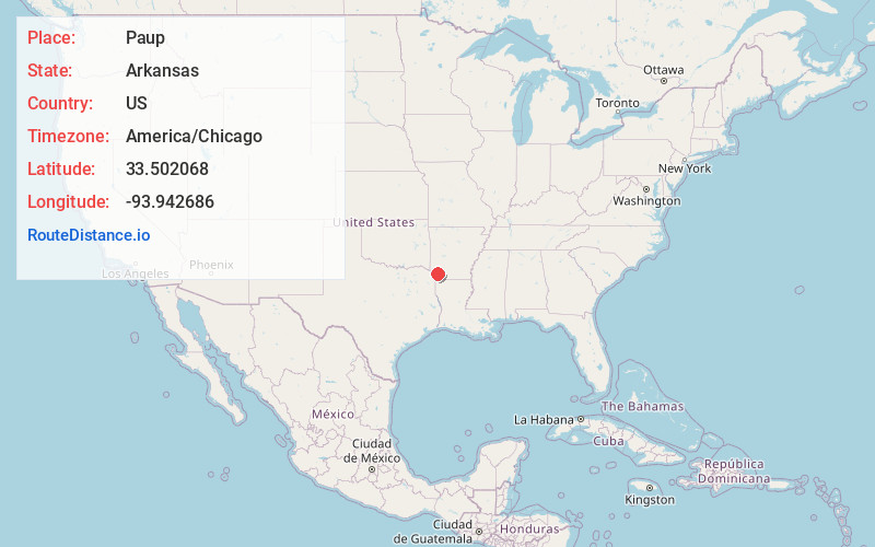
Mandeville
Arkansas
US
America/Chicago
Location Information
-
Full AddressPaup, Mandeville, AR 71854
-
Coordinates33.5020679, -93.9426863
-
NeighborhoodMandeville
-
LocationMandeville , Arkansas , US
-
TimezoneAmerica/Chicago
-
Current Local Time3:18:11 PM America/ChicagoTuesday, May 6, 2025
-
Page Views0
Directions to Nearest Cities
About Paup
Paup is an unincorporated community in Miller County, Arkansas, United States. Paup is located on U.S. Route 67, 7.8 miles northeast of Texarkana.
Nearby Places
Found 10 places within 50 miles

Clipper
7.1 mi
11.4 km
Clipper, AR 71854
Get directions

Texarkana
7.3 mi
11.7 km
Texarkana, AR 71854
Get directions

Texarkana
8.1 mi
13.0 km
Texarkana, TX
Get directions
Ogden
8.3 mi
13.4 km
Ogden, AR
Get directions

Genoa
9.3 mi
15.0 km
Genoa, AR
Get directions
Hervey
9.5 mi
15.3 km
Hervey, AR 71854
Get directions
Orton
10.0 mi
16.1 km
Orton, AR 71822
Get directions

Fulton
10.8 mi
17.4 km
Fulton, AR 71838
Get directions

Wake Village
10.8 mi
17.4 km
Wake Village, TX
Get directions
Nash
11.6 mi
18.7 km
Nash, TX
Get directions
Clipper
7.1 mi
11.4 km
Clipper, AR 71854
Texarkana
7.3 mi
11.7 km
Texarkana, AR 71854
Texarkana
8.1 mi
13.0 km
Texarkana, TX
Ogden
8.3 mi
13.4 km
Ogden, AR
Genoa
9.3 mi
15.0 km
Genoa, AR
Hervey
9.5 mi
15.3 km
Hervey, AR 71854
Orton
10.0 mi
16.1 km
Orton, AR 71822
Fulton
10.8 mi
17.4 km
Fulton, AR 71838
Wake Village
10.8 mi
17.4 km
Wake Village, TX
Nash
11.6 mi
18.7 km
Nash, TX
Location Links
Local Weather
Weather Information
Coming soon!
Location Map
Static map view of Paup, Arkansas
Browse Places by Distance
Places within specific distances from Paup
Short Distances
Long Distances
Click any distance to see all places within that range from Paup. Distances shown in miles (1 mile ≈ 1.61 kilometers).