Distance to Pawnee, Ohio

Calculating Your Route
Just a moment while we process your request...
Location Information
-
Full AddressPawnee, Spencer Township, OH 44275
-
Coordinates41.0675551, -82.0768162
-
LocationSpencer Township , Ohio , US
-
TimezoneAmerica/New_York
-
Current Local Time2:26:43 PM America/New_YorkFriday, June 6, 2025
-
Page Views0
Nearby Places
Found 10 places within 50 miles

Esselburn
2.8 mi
4.5 km
Esselburn, Homer Township, OH 44235
Get directions

Spencer
3.3 mi
5.3 km
Spencer, OH 44275
Get directions
Chatham
3.5 mi
5.6 km
Chatham, OH 44275
Get directions

Homerville
3.8 mi
6.1 km
Homerville, OH 44235
Get directions

Lodi
4.1 mi
6.6 km
Lodi, OH 44254
Get directions
Friendsville
6.4 mi
10.3 km
Friendsville, Westfield Township, OH 44273
Get directions

West Salem
6.9 mi
11.1 km
West Salem, OH 44287
Get directions

Burbank
6.9 mi
11.1 km
Burbank, OH 44214
Get directions
Penfield
7.4 mi
11.9 km
Penfield, OH 44090
Get directions

Litchfield
7.5 mi
12.1 km
Litchfield, OH 44253
Get directions
Location Links
Local Weather
Weather Information
Coming soon!
Location Map
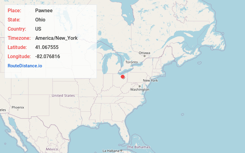
Static map view of Pawnee, Ohio
Browse Places by Distance
Places within specific distances from Pawnee
Short Distances
Long Distances
Click any distance to see all places within that range from Pawnee. Distances shown in miles (1 mile ≈ 1.61 kilometers).