Distance to Pea Ridge National Military Park, Arkansas

Calculating Your Route
Just a moment while we process your request...
Location Information
-
Full AddressPea Ridge National Military Park, 15930 National Park Dr, Garfield, AR 72732
-
Coordinates36.4433394, -94.0266101
-
Street15930 National Park Dr
-
LocationGarfield , Arkansas , US
-
TimezoneAmerica/Chicago
-
Current Local Time4:01:32 AM America/ChicagoTuesday, June 3, 2025
-
Website
-
Page Views0
About Pea Ridge National Military Park
Large, intact former Civil War battlefield, with hiking & horseback riding trails & a small museum.


Nearby Places
Found 10 places within 50 miles

Elkhorn Tavern
0.9 mi
1.4 km
Elkhorn Tavern, AR 72732
Get directions
Leetown
1.4 mi
2.3 km
Leetown, AR 72732
Get directions
Brightwater
2.4 mi
3.9 km
Brightwater, AR 72732
Get directions

Garfield
3.1 mi
5.0 km
Garfield, AR 72732
Get directions

Avoca
3.8 mi
6.1 km
Avoca, AR 72756
Get directions

Pea Ridge
5.0 mi
8.0 km
Pea Ridge, AR
Get directions
Gateway
6.2 mi
10.0 km
Gateway, AR
Get directions
Jacket
6.5 mi
10.5 km
Jacket, Mountain Township, MO 64856
Get directions

Prairie Creek
7.3 mi
11.7 km
Prairie Creek, AR 72756
Get directions

Lost Bridge Village
7.7 mi
12.4 km
Lost Bridge Village, AR 72732
Get directions
Location Links
Local Weather
Weather Information
Coming soon!
Location Map
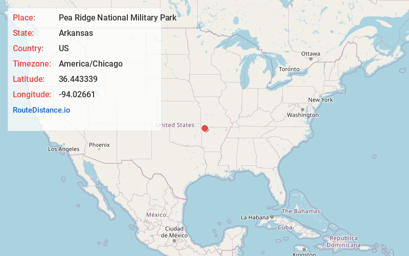
Static map view of Pea Ridge National Military Park, Arkansas
Browse Places by Distance
Places within specific distances from Pea Ridge National Military Park
Short Distances
Long Distances
Click any distance to see all places within that range from Pea Ridge National Military Park. Distances shown in miles (1 mile ≈ 1.61 kilometers).