Distance to Peach Orchard, Arkansas

Calculating Your Route
Just a moment while we process your request...
Location Information
-
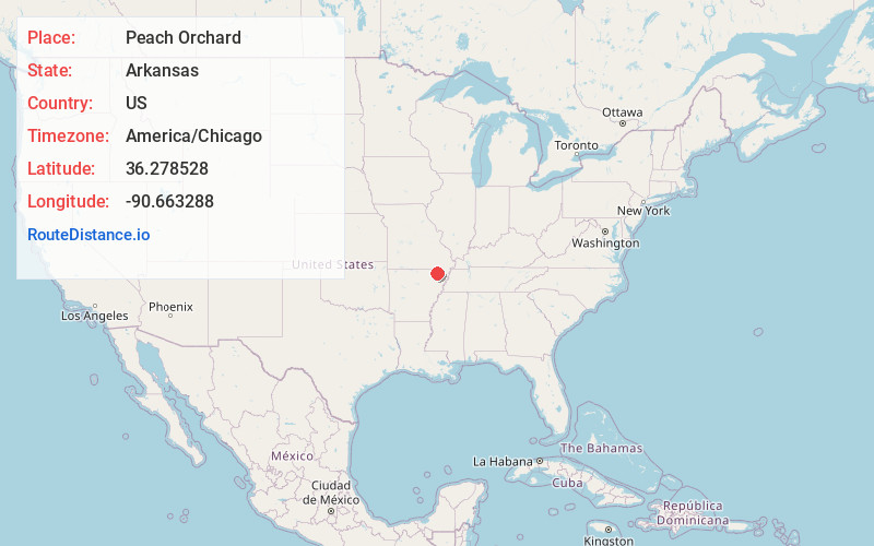
Full AddressPeach Orchard, AR
-
Coordinates36.2785284, -90.6632879
-
LocationPeach Orchard , Arkansas , US
-
TimezoneAmerica/Chicago
-
Current Local Time5:44:50 PM America/ChicagoFriday, June 20, 2025
-
Page Views0
About Peach Orchard
Peach Orchard is a city in Clay County, Arkansas, United States. The population was 135 at the 2010 census.
Nearby Places
Found 10 places within 50 miles

Knobel
4.5 mi
7.2 km
Knobel, AR 72435
Get directions

Delaplaine
4.7 mi
7.6 km
Delaplaine, AR 72425
Get directions
Reyno
7.7 mi
12.4 km
Reyno, AR
Get directions
Biggers
8.8 mi
14.2 km
Biggers, AR 72413
Get directions

Lafe
9.8 mi
15.8 km
Lafe, AR
Get directions

Corning
10.1 mi
16.3 km
Corning, AR 72422
Get directions
O'Kean
11.5 mi
18.5 km
O'Kean, AR
Get directions
Success
12.6 mi
20.3 km
Success, AR 72470
Get directions

Oak Grove Heights
14.0 mi
22.5 km
Oak Grove Heights, AR 72450
Get directions
Maynard
16.3 mi
26.2 km
Maynard, AR 72444
Get directions
Location Links
Local Weather
Weather Information
Coming soon!
Location Map
Static map view of Peach Orchard, Arkansas
Browse Places by Distance
Places within specific distances from Peach Orchard
Short Distances
Long Distances
Click any distance to see all places within that range from Peach Orchard. Distances shown in miles (1 mile ≈ 1.61 kilometers).