Distance to Peaks, Virginia

Calculating Your Route
Just a moment while we process your request...
Location Information
-
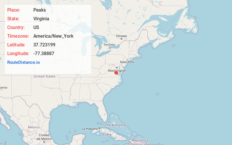
Full AddressPeaks, VA 23069
-
Coordinates37.7231987, -77.3888701
-
LocationVirginia , US
-
TimezoneAmerica/New_York
-
Current Local Time5:17:36 PM America/New_YorkWednesday, June 18, 2025
-
Page Views0
Nearby Places
Found 10 places within 50 miles

Cady
2.0 mi
3.2 km
Cady, VA 23069
Get directions
Patrick Henry Heights
2.7 mi
4.3 km
Patrick Henry Heights, VA 23116
Get directions

Hanover
3.2 mi
5.1 km
Hanover, VA 23069
Get directions
Henry Clay Heights
3.4 mi
5.5 km
Henry Clay Heights, VA 23116
Get directions
Heaths Store
3.5 mi
5.6 km
Heaths Store, VA 23005
Get directions
Laurel Grove Estates
4.4 mi
7.1 km
Laurel Grove Estates, VA 23116
Get directions
Atlee
4.6 mi
7.4 km
Atlee, VA 23116
Get directions
Holly Glen Estates
5.3 mi
8.5 km
Holly Glen Estates, Glen Allen, VA 23059
Get directions

Ashland
5.6 mi
9.0 km
Ashland, VA 23005
Get directions
Pine Hill
6.3 mi
10.1 km
Pine Hill, VA 23116
Get directions
Location Links
Local Weather
Weather Information
Coming soon!
Location Map
Static map view of Peaks, Virginia
Browse Places by Distance
Places within specific distances from Peaks
Short Distances
Long Distances
Click any distance to see all places within that range from Peaks. Distances shown in miles (1 mile ≈ 1.61 kilometers).