Distance to Peanut, California

Calculating Your Route
Just a moment while we process your request...
Location Information
-
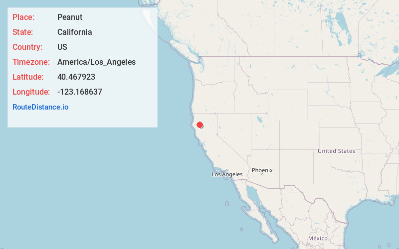
Full AddressPeanut, CA 96041
-
Coordinates40.4679229, -123.1686374
-
LocationPeanut , California , US
-
TimezoneAmerica/Los_Angeles
-
Current Local Time4:39:00 AM America/Los_AngelesSaturday, June 7, 2025
-
Page Views0
About Peanut
Peanut is an unincorporated area in Trinity County, California, United States. Previously called Salt Creek, it is located on Highway 3, south of Hayfork, at an elevation of 2,500 feet.
As many as 100 people once lived there.
Nearby Places
Found 10 places within 50 miles

Hayfork
6.0 mi
9.7 km
Hayfork, CA 96041
Get directions

Ruth
15.9 mi
25.6 km
Ruth, CA 95552
Get directions

Platina
16.3 mi
26.2 km
Platina, CA 96076
Get directions

Douglas City
17.3 mi
27.8 km
Douglas City, CA
Get directions

Mad River
17.7 mi
28.5 km
Mad River, CA
Get directions

Hyampom
18.3 mi
29.5 km
Hyampom, CA 96046
Get directions

Junction City
18.9 mi
30.4 km
Junction City, CA
Get directions

Weaverville
21.7 mi
34.9 km
Weaverville, CA
Get directions

Lewiston
24.8 mi
39.9 km
Lewiston, CA 96052
Get directions
Cedar Flat Creek
25.3 mi
40.7 km
Cedar Flat Creek, California 95527
Get directions
Location Links
Local Weather
Weather Information
Coming soon!
Location Map
Static map view of Peanut, California
Browse Places by Distance
Places within specific distances from Peanut
Short Distances
Long Distances
Click any distance to see all places within that range from Peanut. Distances shown in miles (1 mile ≈ 1.61 kilometers).