Distance to Pearsonville, California

Calculating Your Route
Just a moment while we process your request...
Location Information
-
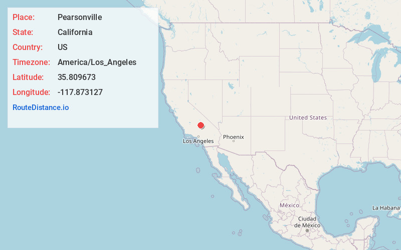
Full AddressPearsonville, CA 93527
-
Coordinates35.8096726, -117.8731269
-
LocationPearsonville , California , US
-
TimezoneAmerica/Los_Angeles
-
Current Local Time9:06:28 PM America/Los_AngelesSunday, June 22, 2025
-
Page Views0
About Pearsonville
Pearsonville is a census-designated place in Inyo County, California, United States, along U.S. Route 395. The population was 8 at the 2020 census, down from 17 at the 2010 census.


Nearby Places
Found 10 places within 50 miles

Inyokern
11.7 mi
18.8 km
Inyokern, CA
Get directions

China Lake Acres
13.1 mi
21.1 km
China Lake Acres, CA 93555
Get directions

Ridgecrest
17.3 mi
27.8 km
Ridgecrest, CA 93555
Get directions

Kennedy Meadows
20.0 mi
32.2 km
Kennedy Meadows, CA 93527
Get directions

Onyx
21.2 mi
34.1 km
Onyx, CA
Get directions

Weldon
25.4 mi
40.9 km
Weldon, CA
Get directions

Searles Valley
26.5 mi
42.6 km
Searles Valley, CA 93562
Get directions

Homewood Canyon
28.0 mi
45.1 km
Homewood Canyon, CA 93592
Get directions

Valley Wells
30.2 mi
48.6 km
Valley Wells, CA
Get directions

Kernville
31.2 mi
50.2 km
Kernville, CA
Get directions
Location Links
Local Weather
Weather Information
Coming soon!
Location Map
Static map view of Pearsonville, California
Browse Places by Distance
Places within specific distances from Pearsonville
Short Distances
Long Distances
Click any distance to see all places within that range from Pearsonville. Distances shown in miles (1 mile ≈ 1.61 kilometers).