Distance to Pee Dee, North Carolina

Calculating Your Route
Just a moment while we process your request...
Location Information
-
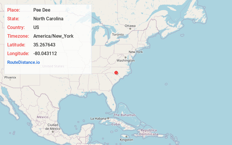
Full AddressPee Dee, NC 27306
-
Coordinates35.2676434, -80.0431117
-
LocationPee Dee , North Carolina , US
-
TimezoneAmerica/New_York
-
Current Local Time3:54:56 AM America/New_YorkWednesday, June 18, 2025
-
Page Views0


Nearby Places
Found 10 places within 50 miles

River Haven
4.1 mi
6.6 km
River Haven, NC 28001
Get directions

Mt Gilead
4.3 mi
6.9 km
Mt Gilead, NC 27306
Get directions

Norwood
5.4 mi
8.7 km
Norwood, NC 28128
Get directions
Cedar Hill
9.6 mi
15.4 km
Cedar Hill, NC 28170
Get directions

Badin
10.3 mi
16.6 km
Badin, NC
Get directions

Troy
10.5 mi
16.9 km
Troy, NC 27371
Get directions

Albemarle
10.5 mi
16.9 km
Albemarle, NC
Get directions
Pekin
10.6 mi
17.1 km
Pekin, NC 27229
Get directions

Ansonville
11.9 mi
19.2 km
Ansonville, NC 28170
Get directions
Eldorado
13.8 mi
22.2 km
Eldorado, NC 27371
Get directions
Location Links
Local Weather
Weather Information
Coming soon!
Location Map
Static map view of Pee Dee, North Carolina
Browse Places by Distance
Places within specific distances from Pee Dee
Short Distances
Long Distances
Click any distance to see all places within that range from Pee Dee. Distances shown in miles (1 mile ≈ 1.61 kilometers).