Distance to Peel, Arkansas

Calculating Your Route
Just a moment while we process your request...
Location Information
-
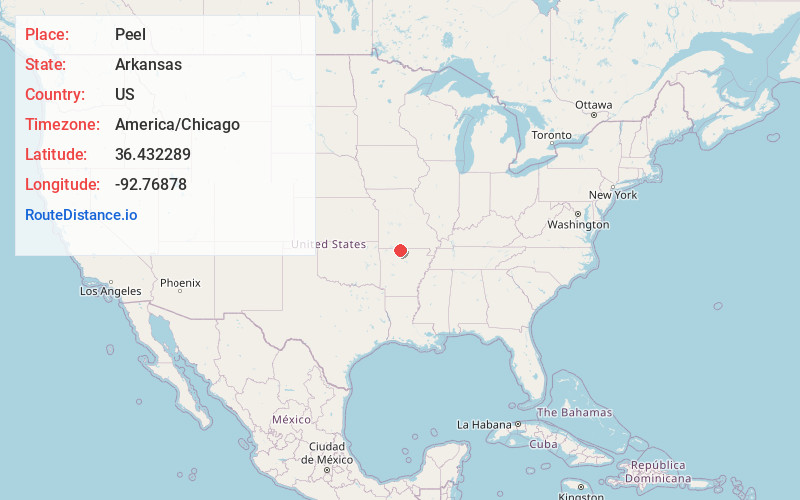
Full AddressPeel, AR 72668
-
Coordinates36.4322891, -92.76878
-
LocationPeel , Arkansas , US
-
TimezoneAmerica/Chicago
-
Current Local Time2:26:49 PM America/ChicagoFriday, June 20, 2025
-
Page Views0
About Peel
Peel is an unincorporated community in northwest Marion County, Arkansas, United States. Peel is located on Arkansas Highway 125, 8 miles east of Lead Hill. Peel has a post office with ZIP code 72668. Bull Shoals Lake on the White River lies just to the north and east of the community.

Nearby Places
Found 10 places within 50 miles

Lakeway
6.5 mi
10.5 km
Lakeway, AR 72687
Get directions

Lead Hill
8.1 mi
13.0 km
Lead Hill, AR 72644
Get directions
South Lead Hill
8.3 mi
13.4 km
South Lead Hill, AR 72644
Get directions

Protem
8.3 mi
13.4 km
Protem, MO 65733
Get directions

Diamond City
8.7 mi
14.0 km
Diamond City, AR 72644
Get directions

Pontiac
10.8 mi
17.4 km
Pontiac, MO 65729
Get directions

Bull Shoals
10.8 mi
17.4 km
Bull Shoals, AR 72619
Get directions

Oakland
11.2 mi
18.0 km
Oakland, AR 72661
Get directions

Theodosia
11.6 mi
18.7 km
Theodosia, MO 65761
Get directions
Sundown
11.8 mi
19.0 km
Sundown, MO
Get directions
Location Links
Local Weather
Weather Information
Coming soon!
Location Map
Static map view of Peel, Arkansas
Browse Places by Distance
Places within specific distances from Peel
Short Distances
Long Distances
Click any distance to see all places within that range from Peel. Distances shown in miles (1 mile ≈ 1.61 kilometers).