Distance to Peligreen Place, California

Calculating Your Route
Just a moment while we process your request...
Location Information
-
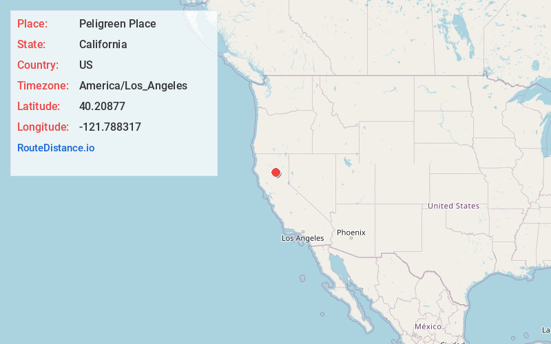
Full AddressPeligreen Place, CA
-
Coordinates40.2087699, -121.7883169
-
LocationPeligreen Place , California , US
-
TimezoneAmerica/Los_Angeles
-
Current Local Time3:36:49 AM America/Los_AngelesWednesday, May 21, 2025
-
Page Views0
Nearby Places
Found 10 places within 50 miles

Pape Place
2.7 mi
4.3 km
Pape Place, CA
Get directions
McClure Place
4.5 mi
7.2 km
McClure Place, CA 96075
Get directions
Payne Place
5.0 mi
8.0 km
Payne Place, CA
Get directions
Dantuma Place
5.9 mi
9.5 km
Dantuma Place, CA 96075
Get directions
Lyman Springs
7.0 mi
11.3 km
Lyman Springs, CA 96075
Get directions
Marian Place
7.2 mi
11.6 km
Marian Place, CA 96075
Get directions
Lyonsville
7.4 mi
11.9 km
Lyonsville, CA 96075
Get directions
Meyers Place
8.0 mi
12.9 km
Meyers Place, CA 96075
Get directions
McKenzie Place
8.4 mi
13.5 km
McKenzie Place, CA 96075
Get directions
Polk Springs
9.1 mi
14.6 km
Polk Springs, CA
Get directions
Location Links
Local Weather
Weather Information
Coming soon!
Location Map
Static map view of Peligreen Place, California
Browse Places by Distance
Places within specific distances from Peligreen Place
Short Distances
Long Distances
Click any distance to see all places within that range from Peligreen Place. Distances shown in miles (1 mile ≈ 1.61 kilometers).