Distance to Payne Place, California

Calculating Your Route
Just a moment while we process your request...
Location Information
-
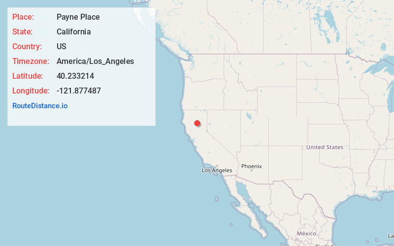
Full AddressPayne Place, CA
-
Coordinates40.2332136, -121.8774868
-
LocationPayne Place , California , US
-
TimezoneAmerica/Los_Angeles
-
Current Local Time4:16:32 PM America/Los_AngelesSunday, May 25, 2025
-
Page Views0
Nearby Places
Found 10 places within 50 miles

Meyers Place
3.2 mi
5.1 km
Meyers Place, CA 96075
Get directions
McClure Place
3.6 mi
5.8 km
McClure Place, CA 96075
Get directions

Paynes Creek
7.3 mi
11.7 km
Paynes Creek, CA 96075
Get directions
Lyonsville
9.0 mi
14.5 km
Lyonsville, CA 96075
Get directions
Dales
11.6 mi
18.7 km
Dales, CA
Get directions
Polk Springs
13.8 mi
22.2 km
Polk Springs, CA
Get directions

Manton
14.0 mi
22.5 km
Manton, CA
Get directions
Dairyville
14.7 mi
23.7 km
Dairyville, CA 96080
Get directions
Campbellville
16.5 mi
26.6 km
Campbellville, CA 95973
Get directions

Mineral
16.9 mi
27.2 km
Mineral, CA
Get directions
Location Links
Local Weather
Weather Information
Coming soon!
Location Map
Static map view of Payne Place, California
Browse Places by Distance
Places within specific distances from Payne Place
Short Distances
Long Distances
Click any distance to see all places within that range from Payne Place. Distances shown in miles (1 mile ≈ 1.61 kilometers).