Distance to Paynes Creek, California

Calculating Your Route
Just a moment while we process your request...
Location Information
-
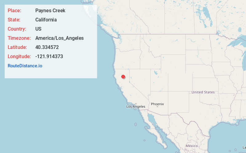
Full AddressPaynes Creek, CA 96075
-
Coordinates40.3345717, -121.9143734
-
LocationPaynes Creek , California , US
-
TimezoneAmerica/Los_Angeles
-
Current Local Time10:45:18 AM America/Los_AngelesSaturday, June 21, 2025
-
Page Views0
About Paynes Creek
Paynes Creek is a census-designated place in Tehama County, California. It is 23 miles east of Red Bluff. Its ZIP code is 96075 and telephone prefixes follow, which is shared with the town of Dales, about 9 miles to the west. Paynes Creek sits at an elevation of 1,949 feet.

Nearby Places
Found 10 places within 50 miles

Manton
7.3 mi
11.7 km
Manton, CA
Get directions

Dales
8.4 mi
13.5 km
Dales, CA
Get directions

Shingletown
11.0 mi
17.7 km
Shingletown, CA 96088
Get directions
Bend
16.8 mi
27.0 km
Bend, CA 96080
Get directions

Mineral
16.8 mi
27.0 km
Mineral, CA
Get directions

Cottonwood
19.6 mi
31.5 km
Cottonwood, CA 96022
Get directions

Red Bluff
20.1 mi
32.3 km
Red Bluff, CA 96080
Get directions

Millville
20.1 mi
32.3 km
Millville, CA
Get directions

Whitmore
20.3 mi
32.7 km
Whitmore, CA 96096
Get directions

Anderson
21.7 mi
34.9 km
Anderson, CA 96007
Get directions
Location Links
Local Weather
Weather Information
Coming soon!
Location Map
Static map view of Paynes Creek, California
Browse Places by Distance
Places within specific distances from Paynes Creek
Short Distances
Long Distances
Click any distance to see all places within that range from Paynes Creek. Distances shown in miles (1 mile ≈ 1.61 kilometers).