Distance to Lyonsville, California

Calculating Your Route
Just a moment while we process your request...
Location Information
-
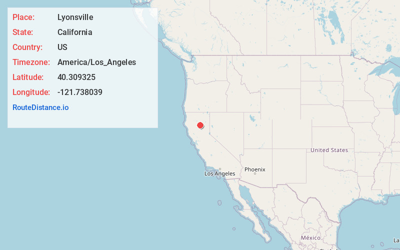
Full AddressLyonsville, CA 96075
-
Coordinates40.3093251, -121.7380392
-
LocationLyonsville , California , US
-
TimezoneAmerica/Los_Angeles
-
Current Local Time10:51:10 AM America/Los_AngelesSaturday, May 31, 2025
-
Page Views0
About Lyonsville
Lyonsville in Tehama County, California was the site of the Lyonsville Mill, a major lumber operation which was once the largest sawmill in Northern California. It was located between the north and south forks of Antelope Creek, high above Hogsback Ridge.
Nearby Places
Found 10 places within 50 miles

Mineral
8.0 mi
12.9 km
Mineral, CA
Get directions

Paynes Creek
9.5 mi
15.3 km
Paynes Creek, CA 96075
Get directions

Manton
11.1 mi
17.9 km
Manton, CA
Get directions

Morgan Springs
12.5 mi
20.1 km
Morgan Springs, Mineral, CA 96061
Get directions
Polk Springs
13.8 mi
22.2 km
Polk Springs, CA
Get directions

Shingletown
14.9 mi
24.0 km
Shingletown, CA 96088
Get directions
Dales
17.5 mi
28.2 km
Dales, CA
Get directions
Summertown
18.6 mi
29.9 km
Summertown, CA
Get directions

Butte Meadows
18.6 mi
29.9 km
Butte Meadows, CA 95942
Get directions

Inwood
18.8 mi
30.3 km
Inwood, CA 96088
Get directions
Location Links
Local Weather
Weather Information
Coming soon!
Location Map
Static map view of Lyonsville, California
Browse Places by Distance
Places within specific distances from Lyonsville
Short Distances
Long Distances
Click any distance to see all places within that range from Lyonsville. Distances shown in miles (1 mile ≈ 1.61 kilometers).