Distance to Penokee, Kansas

Calculating Your Route
Just a moment while we process your request...
Location Information
-
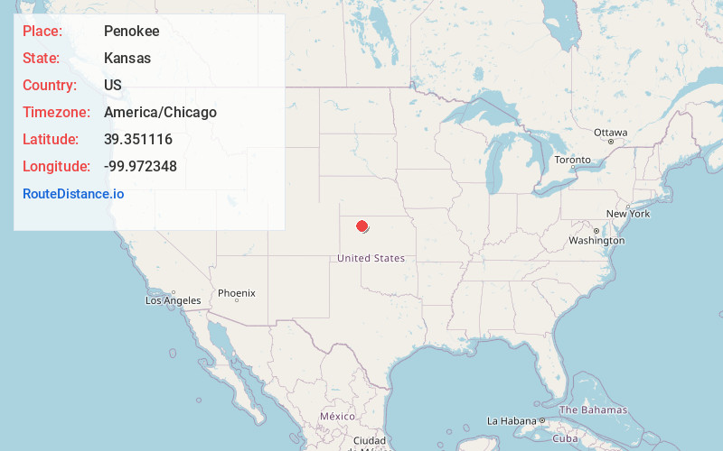
Full AddressPenokee, KS 67659
-
Coordinates39.351116, -99.9723477
-
LocationPenokee , Kansas , US
-
TimezoneAmerica/Chicago
-
Current Local Time12:27:22 AM America/ChicagoMonday, June 30, 2025
-
Page Views0
About Penokee
Penokee is an unincorporated community in Graham County, Kansas, United States, in the Solomon Valley.


Nearby Places
Found 10 places within 50 miles

Morland
5.5 mi
8.9 km
Morland, KS 67650
Get directions

Hill City
7.0 mi
11.3 km
Hill City, KS
Get directions
Studley
10.2 mi
16.4 km
Studley, KS 67650
Get directions
Saint Peter
12.9 mi
20.8 km
Saint Peter, KS 67650
Get directions
Togo
12.9 mi
20.8 km
Togo, Happy Township, KS 67672
Get directions
Bogue
15.2 mi
24.5 km
Bogue, KS 67625
Get directions
Lenora
18.0 mi
29.0 km
Lenora, KS 67645
Get directions
New Almelo
18.6 mi
29.9 km
New Almelo, KS 67629
Get directions

Nicodemus
19.3 mi
31.1 km
Nicodemus, KS 67625
Get directions
Edmond
20.7 mi
33.3 km
Edmond, KS 67645
Get directions
Location Links
Local Weather
Weather Information
Coming soon!
Location Map
Static map view of Penokee, Kansas
Browse Places by Distance
Places within specific distances from Penokee
Short Distances
Long Distances
Click any distance to see all places within that range from Penokee. Distances shown in miles (1 mile ≈ 1.61 kilometers).