Distance to Peoria, Ohio

Calculating Your Route
Just a moment while we process your request...
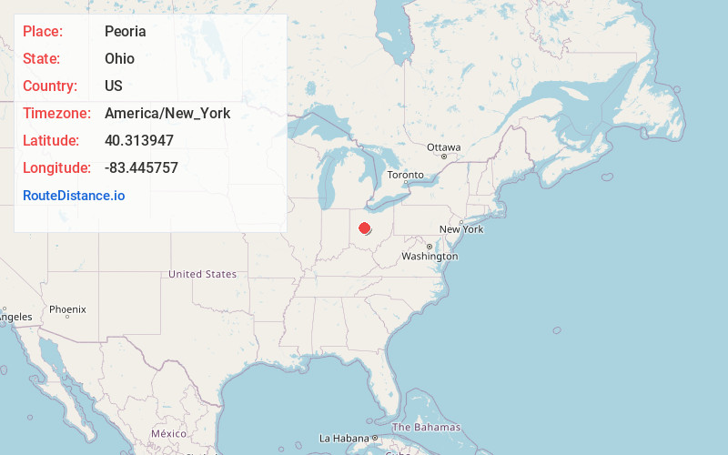
Location Information
-
Full AddressPeoria, Liberty Township, OH 43040
-
Coordinates40.313947, -83.4457572
-
LocationLiberty Township , Ohio , US
-
TimezoneAmerica/New_York
-
Current Local Time11:06:55 PM America/New_YorkSunday, June 22, 2025
-
Page Views0
About Peoria
Peoria is an unincorporated community in Liberty Township, Union County, Ohio, United States. It is located along Raymond Road, about 1.75 mi south of Raymond and 6.5 mi northwest of Marysville.
A post office was established in Peoria on September 26, 1872; it was closed on August 11, 1967.
Nearby Places
Found 10 places within 50 miles

Raymond
1.8 mi
2.9 km
Raymond, OH 43067
Get directions

Broadway
2.6 mi
4.2 km
Broadway, OH 43067
Get directions
Otter
3.0 mi
4.8 km
Otter, Paris Township, OH 43040
Get directions
Pottersburg
4.4 mi
7.1 km
Pottersburg, Allen Township, OH 43040
Get directions
Allen Center
5.2 mi
8.4 km
Allen Center, OH 43040
Get directions
Fleetwood Park
6.1 mi
9.8 km
Fleetwood Park, Marysville, OH 43040
Get directions

York Center
6.5 mi
10.5 km
York Center, OH 43067
Get directions

Marysville
6.8 mi
10.9 km
Marysville, OH 43040
Get directions

East Liberty
7.3 mi
11.7 km
East Liberty, OH
Get directions
West Mansfield
8.0 mi
12.9 km
West Mansfield, OH 43358
Get directions
Location Links
Local Weather
Weather Information
Coming soon!
Location Map
Static map view of Peoria, Ohio
Browse Places by Distance
Places within specific distances from Peoria
Short Distances
Long Distances
Click any distance to see all places within that range from Peoria. Distances shown in miles (1 mile ≈ 1.61 kilometers).