Distance to Perkins, West Virginia

Calculating Your Route
Just a moment while we process your request...
Location Information
-
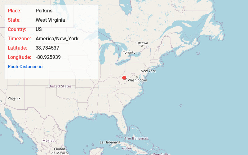
Full AddressPerkins, WV 26636
-
Coordinates38.7845374, -80.9259394
-
LocationPerkins , West Virginia , US
-
TimezoneAmerica/New_York
-
Current Local Time8:03:08 PM America/New_YorkFriday, June 6, 2025
-
Page Views0
About Perkins
Perkins is an unincorporated community in Gilmer County, West Virginia, United States. Perkins is located along County Route 52, 11.4 miles south-southwest of Glenville. Perkins had a post office, which closed on November 2, 2002.
The community was named after Clen Boggs, the wife of an early settler.
Nearby Places
Found 10 places within 50 miles

Shock
2.3 mi
3.7 km
Shock, WV
Get directions
Rosedale
3.3 mi
5.3 km
Rosedale, WV 26636
Get directions
Normantown
4.7 mi
7.6 km
Normantown, WV 25267
Get directions
Tague
5.7 mi
9.2 km
Tague, WV 26623
Get directions
Stumptown
5.8 mi
9.3 km
Stumptown, WV 25267
Get directions
Belfont
6.5 mi
10.5 km
Belfont, WV 26624
Get directions
Nicut
7.2 mi
11.6 km
Nicut, WV 26636
Get directions
Wilsie
7.2 mi
11.6 km
Wilsie, WV 26623
Get directions
Euclid
7.3 mi
11.7 km
Euclid, WV 25268
Get directions
Sand Ridge
7.7 mi
12.4 km
Sand Ridge, WV 25234
Get directions
Location Links
Local Weather
Weather Information
Coming soon!
Location Map
Static map view of Perkins, West Virginia
Browse Places by Distance
Places within specific distances from Perkins
Short Distances
Long Distances
Click any distance to see all places within that range from Perkins. Distances shown in miles (1 mile ≈ 1.61 kilometers).