Distance to Perla, Arkansas

Calculating Your Route
Just a moment while we process your request...
Location Information
-
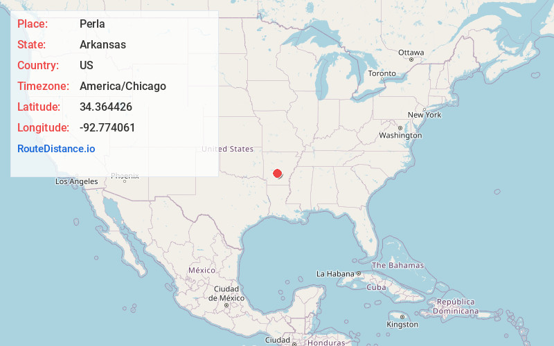
Full AddressPerla, AR 72104
-
Coordinates34.3644258, -92.7740613
-
LocationPerla , Arkansas , US
-
TimezoneAmerica/Chicago
-
Current Local Time10:20:51 PM America/ChicagoThursday, June 19, 2025
-
Page Views0
About Perla
Perla is a town in Hot Spring County, Arkansas, United States. The population was 241 at the 2010 census, up from 115 at the 2000 census. The city's water association filed for Chapter 9 Bankruptcy in the Western District of Arkansas Bankruptcy Court on May 26, 2019.
Nearby Places
Found 10 places within 50 miles

Malvern
2.2 mi
3.5 km
Malvern, AR 72104
Get directions

Rockport
2.9 mi
4.7 km
Rockport, AR 72104
Get directions
Magnet Cove
6.8 mi
10.9 km
Magnet Cove, AR 72104
Get directions

Poyen
8.1 mi
13.0 km
Poyen, AR 72128
Get directions
Traskwood
9.0 mi
14.5 km
Traskwood, AR 72167
Get directions

Donaldson
12.3 mi
19.8 km
Donaldson, AR 71941
Get directions

Haskell
12.5 mi
20.1 km
Haskell, AR 72015
Get directions

Lonsdale
12.6 mi
20.3 km
Lonsdale, AR 72087
Get directions
Tull
12.6 mi
20.3 km
Tull, AR 72015
Get directions
Prattsville
13.1 mi
21.1 km
Prattsville, AR 72129
Get directions
Location Links
Local Weather
Weather Information
Coming soon!
Location Map
Static map view of Perla, Arkansas
Browse Places by Distance
Places within specific distances from Perla
Short Distances
Long Distances
Click any distance to see all places within that range from Perla. Distances shown in miles (1 mile ≈ 1.61 kilometers).