Distance to Perry Park, Kentucky

Calculating Your Route
Just a moment while we process your request...
Location Information
-
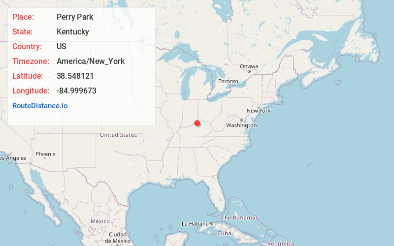
Full AddressPerry Park, KY 41098
-
Coordinates38.5481212, -84.9996731
-
LocationPerry Park , Kentucky , US
-
TimezoneAmerica/New_York
-
Current Local Time12:27:59 PM America/New_YorkWednesday, July 2, 2025
-
Page Views0
About Perry Park
Perry Park is an unincorporated community, country club and golf resort in Owen County, Kentucky, between Owenton and Carrollton. It is located one hour southwest of Cincinnati, one hour northwest of Lexington, and one hour northeast of Louisville, and lies on the Kentucky River. The ZIP Code for Perry Park is 40363.

Nearby Places
Found 10 places within 50 miles

Moxley
1.1 mi
1.8 km
Moxley, KY 41098
Get directions
Squiresville
2.5 mi
4.0 km
Squiresville, KY 40359
Get directions

Drennon Springs
4.0 mi
6.4 km
Drennon Springs, KY 40036
Get directions
Worthville
5.6 mi
9.0 km
Worthville, KY
Get directions
Pleasant Home
5.7 mi
9.2 km
Pleasant Home, KY 40359
Get directions

Gratz
5.7 mi
9.2 km
Gratz, KY 40359
Get directions
Delville
7.2 mi
11.6 km
Delville, KY 40011
Get directions

Franklinton
7.3 mi
11.7 km
Franklinton, KY 40007
Get directions

Sanders
7.9 mi
12.7 km
Sanders, KY 41083
Get directions

Lockport
8.0 mi
12.9 km
Lockport, KY 40036
Get directions
Location Links
Local Weather
Weather Information
Coming soon!
Location Map
Static map view of Perry Park, Kentucky
Browse Places by Distance
Places within specific distances from Perry Park
Short Distances
Long Distances
Click any distance to see all places within that range from Perry Park. Distances shown in miles (1 mile ≈ 1.61 kilometers).