Distance to Pershing, Oklahoma

Calculating Your Route
Just a moment while we process your request...
Location Information
-
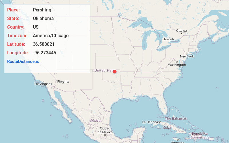
Full AddressPershing, OK
-
Coordinates36.588821, -96.2734452
-
LocationPershing , Oklahoma , US
-
TimezoneAmerica/Chicago
-
Current Local Time8:47:19 PM America/ChicagoTuesday, June 24, 2025
-
Page Views0
About Pershing
Pershing is an unincorporated community and census-designated place in Osage County, Oklahoma, United States. It was first listed as a CDP prior to the 2020 census.


Nearby Places
Found 10 places within 50 miles

Nelagoney
3.2 mi
5.1 km
Nelagoney, OK 74056
Get directions

Wynona
4.2 mi
6.8 km
Wynona, OK
Get directions

Pawhuska
6.3 mi
10.1 km
Pawhuska, OK 74056
Get directions

Barnsdall
6.5 mi
10.5 km
Barnsdall, OK 74002
Get directions

Avant
13.6 mi
21.9 km
Avant, OK
Get directions

Hominy
13.8 mi
22.2 km
Hominy, OK 74035
Get directions
Ochelata
16.3 mi
26.2 km
Ochelata, OK 74051
Get directions

Bartlesville
19.7 mi
31.7 km
Bartlesville, OK
Get directions

Ramona
19.8 mi
31.9 km
Ramona, OK
Get directions

Skiatook
21.5 mi
34.6 km
Skiatook, OK
Get directions
Location Links
Local Weather
Weather Information
Coming soon!
Location Map
Static map view of Pershing, Oklahoma
Browse Places by Distance
Places within specific distances from Pershing
Short Distances
Long Distances
Click any distance to see all places within that range from Pershing. Distances shown in miles (1 mile ≈ 1.61 kilometers).