Distance to Pete Hoff Place, California

Calculating Your Route
Just a moment while we process your request...
Location Information
-
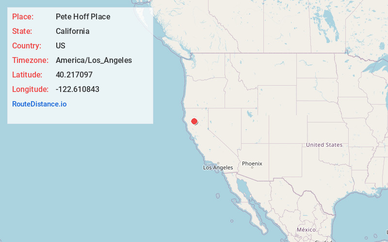
Full AddressPete Hoff Place, CA 96080
-
Coordinates40.2170968, -122.6108431
-
LocationPete Hoff Place , California , US
-
TimezoneAmerica/Los_Angeles
-
Current Local Time12:18:25 AM America/Los_AngelesThursday, June 26, 2025
-
Page Views0
Nearby Places
Found 10 places within 50 miles

Cold Fork
4.5 mi
7.2 km
Cold Fork, CA 96080
Get directions
Bayles Place
5.0 mi
8.0 km
Bayles Place, CA 96080
Get directions
Mary Ellen Place
6.8 mi
10.9 km
Mary Ellen Place, CA 96080
Get directions
Montgomery Place
9.2 mi
14.8 km
Montgomery Place, CA 96080
Get directions
Brown Place
13.3 mi
21.4 km
Brown Place, CA 96080
Get directions
Gas Point
14.3 mi
23.0 km
Gas Point, CA 96047
Get directions
Lowrey
14.4 mi
23.2 km
Lowrey, CA 96080
Get directions
Copple Place
14.4 mi
23.2 km
Copple Place, CA 96080
Get directions
Beegum
15.7 mi
25.3 km
Beegum, CA 96076
Get directions
Hooker
16.0 mi
25.7 km
Hooker, CA 96022
Get directions
Location Links
Local Weather
Weather Information
Coming soon!
Location Map
Static map view of Pete Hoff Place, California
Browse Places by Distance
Places within specific distances from Pete Hoff Place
Short Distances
Long Distances
Click any distance to see all places within that range from Pete Hoff Place. Distances shown in miles (1 mile ≈ 1.61 kilometers).