Distance to Gas Point, California

Calculating Your Route
Just a moment while we process your request...
Location Information
-
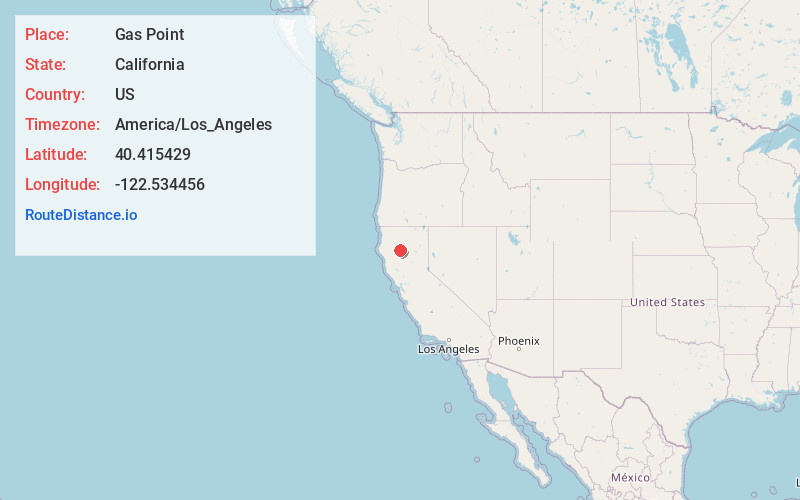
Full AddressGas Point, CA 96047
-
Coordinates40.4154289, -122.5344561
-
LocationGas Point , California , US
-
TimezoneAmerica/Los_Angeles
-
Current Local Time12:28:01 AM America/Los_AngelesFriday, June 20, 2025
-
Page Views0
Nearby Places
Found 10 places within 50 miles

Ono
6.1 mi
9.8 km
Ono, CA 96047
Get directions
Igo
6.2 mi
10.0 km
Igo, CA 96047
Get directions

Happy Valley
7.2 mi
11.6 km
Happy Valley, CA 96007
Get directions

Anderson
12.7 mi
20.4 km
Anderson, CA 96007
Get directions

Shasta
12.8 mi
20.6 km
Shasta, CA
Get directions
Hooker
13.5 mi
21.7 km
Hooker, CA 96022
Get directions

Cottonwood
13.5 mi
21.7 km
Cottonwood, CA 96022
Get directions

Redding
13.6 mi
21.9 km
Redding, CA
Get directions
Keswick
14.8 mi
23.8 km
Keswick, CA 96001
Get directions

Whiskeytown
15.5 mi
24.9 km
Whiskeytown, CA 96095
Get directions
Location Links
Local Weather
Weather Information
Coming soon!
Location Map
Static map view of Gas Point, California
Browse Places by Distance
Places within specific distances from Gas Point
Short Distances
Long Distances
Click any distance to see all places within that range from Gas Point. Distances shown in miles (1 mile ≈ 1.61 kilometers).