Distance to Hooker, California

Calculating Your Route
Just a moment while we process your request...
Location Information
-
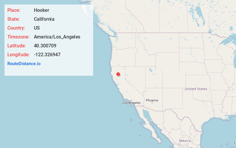
Full AddressHooker, CA 96022
-
Coordinates40.3007092, -122.3269473
-
LocationHooker , California , US
-
TimezoneAmerica/Los_Angeles
-
Current Local Time7:40:50 PM America/Los_AngelesWednesday, June 18, 2025
-
Page Views0
About Hooker
Hooker is an unincorporated area in northwest Tehama County, California, near Hooker Creek. It is an agricultural community.
Nearby Places
Found 10 places within 50 miles

Blunt
4.5 mi
7.2 km
Blunt, CA 96080
Get directions

Cottonwood
6.4 mi
10.3 km
Cottonwood, CA 96022
Get directions
Bend
6.9 mi
11.1 km
Bend, CA 96080
Get directions

Red Bluff
9.7 mi
15.6 km
Red Bluff, CA 96080
Get directions

Anderson
10.3 mi
16.6 km
Anderson, CA 96007
Get directions

Happy Valley
11.1 mi
17.9 km
Happy Valley, CA 96007
Get directions
Dales
13.5 mi
21.7 km
Dales, CA
Get directions

Proberta
17.2 mi
27.7 km
Proberta, CA
Get directions
Igo
18.1 mi
29.1 km
Igo, CA 96047
Get directions

Palo Cedro
18.8 mi
30.3 km
Palo Cedro, CA
Get directions
Location Links
Local Weather
Weather Information
Coming soon!
Location Map
Static map view of Hooker, California
Browse Places by Distance
Places within specific distances from Hooker
Short Distances
Long Distances
Click any distance to see all places within that range from Hooker. Distances shown in miles (1 mile ≈ 1.61 kilometers).