Distance to Petrel, North Dakota

Calculating Your Route
Just a moment while we process your request...
Location Information
-
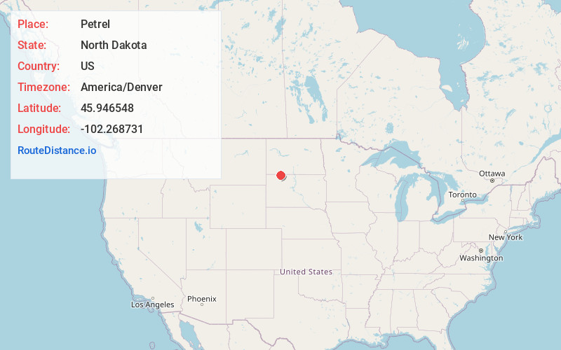
Full AddressPetrel, Gilstrap Township, ND 57638
-
Coordinates45.9465475, -102.2687312
-
LocationGilstrap Township , North Dakota , US
-
TimezoneAmerica/Denver
-
Current Local Time1:17:03 PM America/DenverWednesday, June 18, 2025
-
Page Views0
About Petrel
Petrel is a ghost town in Adams County, North Dakota, United States. It is located just across the border with South Dakota, between Lemmon, South Dakota, in Perkins County and Haynes. Petrel is a former railroad townsite and siding on the Milwaukee Road.
Nearby Places
Found 10 places within 50 miles

Lemmon
5.3 mi
8.5 km
Lemmon, SD 57638
Get directions

Haynes
9.9 mi
15.9 km
Haynes, ND 58639
Get directions

Hettinger
18.1 mi
29.1 km
Hettinger, ND 58639
Get directions
Lodgepole Creek
19.2 mi
30.9 km
Lodgepole Creek, Lodgepole Township, SD 57640
Get directions
Keldron
22.1 mi
35.6 km
Keldron, SD 57634
Get directions
Bucyrus
26.2 mi
42.2 km
Bucyrus, ND 58639
Get directions

Morristown
26.2 mi
42.2 km
Morristown, SD 57645
Get directions
Watrous
26.5 mi
42.6 km
Watrous, ND 58646
Get directions
Bentley
28.2 mi
45.4 km
Bentley, ND 58562
Get directions

Mott
29.6 mi
47.6 km
Mott, ND 58646
Get directions
Location Links
Local Weather
Weather Information
Coming soon!
Location Map
Static map view of Petrel, North Dakota
Browse Places by Distance
Places within specific distances from Petrel
Short Distances
Long Distances
Click any distance to see all places within that range from Petrel. Distances shown in miles (1 mile ≈ 1.61 kilometers).