Distance to Petri, Kentucky

Calculating Your Route
Just a moment while we process your request...
Location Information
-
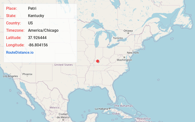
Full AddressPetri, KY 42348
-
Coordinates37.9264437, -86.8041562
-
LocationKentucky , US
-
TimezoneAmerica/Chicago
-
Current Local Time10:21:48 PM America/ChicagoTuesday, June 3, 2025
-
Page Views0
Nearby Places
Found 10 places within 50 miles

Tell City
2.6 mi
4.2 km
Tell City, IN
Get directions

Hawesville
3.2 mi
5.1 km
Hawesville, KY 42348
Get directions

Cannelton
3.4 mi
5.5 km
Cannelton, IN 47520
Get directions

Troy
4.8 mi
7.7 km
Troy, IN
Get directions

Lewisport
5.4 mi
8.7 km
Lewisport, KY 42351
Get directions

Chambers
6.2 mi
10.0 km
Chambers, KY 42348
Get directions
Gatewood
7.3 mi
11.7 km
Gatewood, KY 42351
Get directions
Goering
9.0 mi
14.5 km
Goering, KY 42348
Get directions
Schley
9.0 mi
14.5 km
Schley, Huff Township, IN 47531
Get directions
Scythia
9.1 mi
14.6 km
Scythia, KY 42351
Get directions
Location Links
Local Weather
Weather Information
Coming soon!
Location Map
Static map view of Petri, Kentucky
Browse Places by Distance
Places within specific distances from Petri
Short Distances
Long Distances
Click any distance to see all places within that range from Petri. Distances shown in miles (1 mile ≈ 1.61 kilometers).