Distance to Pettit Place, California

Calculating Your Route
Just a moment while we process your request...
Location Information
-
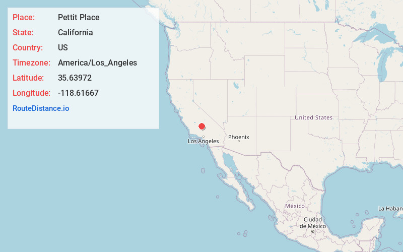
Full AddressPettit Place, CA 93308
-
Coordinates35.6397199, -118.61667
-
LocationPettit Place , California , US
-
TimezoneAmerica/Los_Angeles
-
Current Local Time7:57:25 PM America/Los_AngelesWednesday, June 25, 2025
-
Page Views0
Nearby Places
Found 10 places within 50 miles

Shirley Meadows
6.0 mi
9.7 km
Shirley Meadows, CA 93285
Get directions

Miracle Hot Springs
6.4 mi
10.3 km
Miracle Hot Springs, CA 93518
Get directions

Pioneer Point
7.4 mi
11.9 km
Pioneer Point, Lake Isabella, CA 93240
Get directions

Glennville
7.9 mi
12.7 km
Glennville, CA
Get directions

Bodfish
7.9 mi
12.7 km
Bodfish, CA 93205
Get directions

Lake Isabella
8.2 mi
13.2 km
Lake Isabella, CA
Get directions

Havilah
10.1 mi
16.3 km
Havilah, CA 93518
Get directions

Wofford Heights
10.1 mi
16.3 km
Wofford Heights, CA 93285
Get directions

Panorama Heights
11.5 mi
18.5 km
Panorama Heights, CA 93260
Get directions

Pleasant View
11.5 mi
18.5 km
Pleasant View, CA 93260
Get directions
Location Links
Local Weather
Weather Information
Coming soon!
Location Map
Static map view of Pettit Place, California
Browse Places by Distance
Places within specific distances from Pettit Place
Short Distances
Long Distances
Click any distance to see all places within that range from Pettit Place. Distances shown in miles (1 mile ≈ 1.61 kilometers).