Distance to Piercy, California

Calculating Your Route
Just a moment while we process your request...
Location Information
-
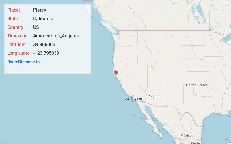
Full AddressPiercy, CA
-
Coordinates39.9660063, -123.7950389
-
LocationPiercy , California , US
-
TimezoneAmerica/Los_Angeles
-
Current Local Time3:23:50 AM America/Los_AngelesThursday, June 12, 2025
-
Page Views0
About Piercy
Piercy is an unincorporated community in Mendocino County, California. It is located on the South Fork of the Eel River, 9 miles north-northwest of Leggett, at an elevation of 794 feet.
The first post office at Piercy opened in 1920. The name honors Sam Piercy, who settled there around 1900.


Nearby Places
Found 10 places within 50 miles

Benbow
7.1 mi
11.4 km
Benbow, CA 95542
Get directions

Leggett
8.1 mi
13.0 km
Leggett, CA 95585
Get directions

Whitethorn
8.8 mi
14.2 km
Whitethorn, CA 95589
Get directions

Garberville
9.3 mi
15.0 km
Garberville, CA
Get directions

Redway
10.8 mi
17.4 km
Redway, CA 95560
Get directions

Shelter Cove
15.5 mi
24.9 km
Shelter Cove, CA 95589
Get directions

Island Mountain
16.7 mi
26.9 km
Island Mountain, CA 95454
Get directions

Phillipsville
16.8 mi
27.0 km
Phillipsville, CA 95559
Get directions

Alderpoint
17.5 mi
28.2 km
Alderpoint, CA 95511
Get directions

Miranda
18.6 mi
29.9 km
Miranda, CA
Get directions
Location Links
Local Weather
Weather Information
Coming soon!
Location Map
Static map view of Piercy, California
Browse Places by Distance
Places within specific distances from Piercy
Short Distances
Long Distances
Click any distance to see all places within that range from Piercy. Distances shown in miles (1 mile ≈ 1.61 kilometers).