Distance to Pine Ridge, Arkansas

Calculating Your Route
Just a moment while we process your request...
Location Information
-
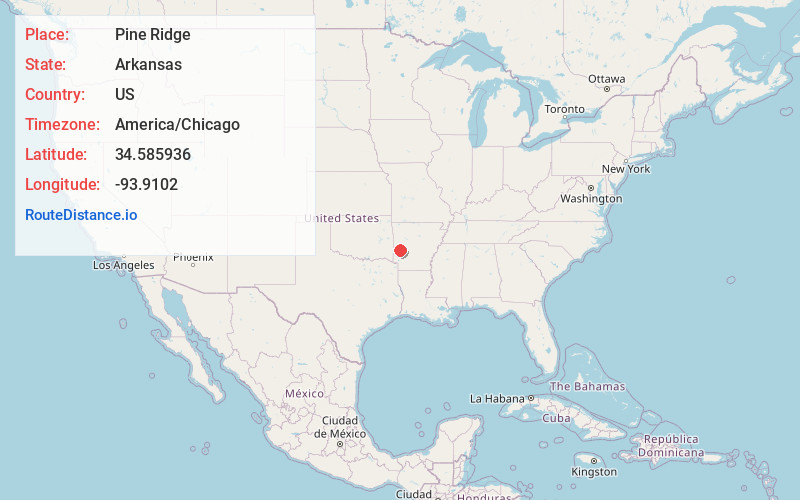
Full AddressPine Ridge, AR 71961
-
Coordinates34.5859364, -93.9101999
-
LocationPine Ridge , Arkansas , US
-
TimezoneAmerica/Chicago
-
Current Local Time5:52:35 PM America/ChicagoFriday, June 20, 2025
-
Page Views0
About Pine Ridge
Pine Ridge is an unincorporated community in Oden Township, Montgomery County, Arkansas, United States. It is located at 34°35′9″N 93°54′36″W.
The original name was Waters, but the name was changed in 1936 to Pine Ridge through a vote of the city's town council.
Nearby Places
Found 10 places within 50 miles

Oden
7.9 mi
12.7 km
Oden, AR 71961
Get directions

Pencil Bluff
10.4 mi
16.7 km
Pencil Bluff, AR
Get directions
Board Camp
11.1 mi
17.9 km
Board Camp, AR 71953
Get directions
Black Springs
14.1 mi
22.7 km
Black Springs, AR 71960
Get directions

Boles
15.5 mi
24.9 km
Boles, AR 72926
Get directions

Mt Ida
15.9 mi
25.6 km
Mt Ida, AR 71957
Get directions

Norman
15.9 mi
25.6 km
Norman, AR 71960
Get directions

Acorn
17.0 mi
27.4 km
Acorn, AR 71953
Get directions

Mena
18.6 mi
29.9 km
Mena, AR 71953
Get directions

Caddo Gap
21.0 mi
33.8 km
Caddo Gap, AR 71935
Get directions
Location Links
Local Weather
Weather Information
Coming soon!
Location Map
Static map view of Pine Ridge, Arkansas
Browse Places by Distance
Places within specific distances from Pine Ridge
Short Distances
Long Distances
Click any distance to see all places within that range from Pine Ridge. Distances shown in miles (1 mile ≈ 1.61 kilometers).