Distance to Pinewood, South Carolina

Calculating Your Route
Just a moment while we process your request...
Location Information
-
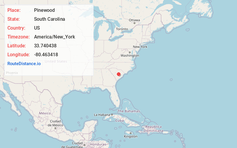
Full AddressPinewood, SC 29125
-
Coordinates33.7404382, -80.4634176
-
LocationPinewood , South Carolina , US
-
TimezoneAmerica/New_York
-
Current Local Time3:20:21 PM America/New_YorkWednesday, June 18, 2025
-
Page Views0
About Pinewood
Pinewood is a town located on South Carolina Highway 261 at the southern entrance to the High Hills of Santee in Sumter County, South Carolina, United States. The population was 538 at the 2010 census. It is included in the Sumter, South Carolina Metropolitan Statistical Area.
Nearby Places
Found 10 places within 50 miles

Privateer
6.6 mi
10.6 km
Privateer, SC
Get directions
Lakewood
9.8 mi
15.8 km
Lakewood, SC 29150
Get directions

Cane Savannah
10.2 mi
16.4 km
Cane Savannah, SC
Get directions
Wedgefield
10.4 mi
16.7 km
Wedgefield, SC 29168
Get directions
South Sumter
12.5 mi
20.1 km
South Sumter, SC 29150
Get directions

Sumter
14.3 mi
23.0 km
Sumter, SC
Get directions

Manning
14.8 mi
23.8 km
Manning, SC 29102
Get directions
Cherryvale
14.9 mi
24.0 km
Cherryvale, SC 29154
Get directions

Stateburg
15.6 mi
25.1 km
Stateburg, SC
Get directions

Elloree
15.8 mi
25.4 km
Elloree, SC 29047
Get directions
Location Links
Local Weather
Weather Information
Coming soon!
Location Map
Static map view of Pinewood, South Carolina
Browse Places by Distance
Places within specific distances from Pinewood
Short Distances
Long Distances
Click any distance to see all places within that range from Pinewood. Distances shown in miles (1 mile ≈ 1.61 kilometers).