Distance to Placida, Florida

Calculating Your Route
Just a moment while we process your request...
Location Information
-
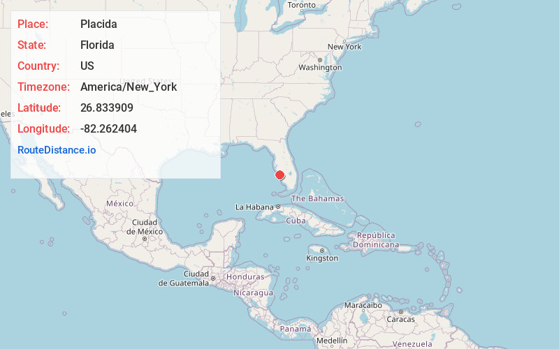
Full AddressPlacida, FL 33946
-
Coordinates26.8339094, -82.2624037
-
LocationPlacida , Florida , US
-
TimezoneAmerica/New_York
-
Current Local Time3:09:48 PM America/New_YorkSunday, June 1, 2025
-
Page Views0
About Placida
Placida is an unincorporated community in Charlotte County, Florida, United States. It is located near where County Road 771 becomes County Road 775, and the Coral Creek meets Gasparilla Sound.
Placida is part of the Sarasota-Bradenton-Punta Gorda Combined Statistical Area. The ZIP Code for Placida is 33946.


Nearby Places
Found 10 places within 50 miles

Cape Haze
2.3 mi
3.7 km
Cape Haze, FL 33946
Get directions

Rotonda West
3.8 mi
6.1 km
Rotonda West, FL
Get directions

Gasparilla Island
5.7 mi
9.2 km
Gasparilla Island, Florida
Get directions

Boca Grande
5.9 mi
9.5 km
Boca Grande, FL 33921
Get directions
Grove City
6.8 mi
10.9 km
Grove City, FL 34224
Get directions
Port Boca Grande
7.8 mi
12.6 km
Port Boca Grande, FL 33921
Get directions

Manasota Key
8.7 mi
14.0 km
Manasota Key, FL 34223
Get directions

El Jobean
9.6 mi
15.4 km
El Jobean, FL 33953
Get directions

Englewood
9.9 mi
15.9 km
Englewood, FL
Get directions

Bokeelia
10.9 mi
17.5 km
Bokeelia, FL 33922
Get directions
Location Links
Local Weather
Weather Information
Coming soon!
Location Map
Static map view of Placida, Florida
Browse Places by Distance
Places within specific distances from Placida
Short Distances
Long Distances
Click any distance to see all places within that range from Placida. Distances shown in miles (1 mile ≈ 1.61 kilometers).