Distance to Platte, Minnesota

Calculating Your Route
Just a moment while we process your request...
Location Information
-
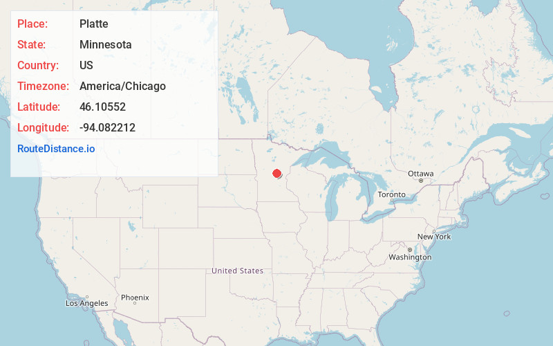
Full AddressPlatte, MN 56364
-
Coordinates46.1055203, -94.082212
-
LocationPlatte , Minnesota , US
-
TimezoneAmerica/Chicago
-
Current Local Time7:08:52 PM America/ChicagoSaturday, June 21, 2025
-
Page Views0
About Platte
Platte is an unincorporated community in Platte Township, Morrison County, Minnesota, United States, near Pierz. The community is located along 275th Avenue near its junction with Morrison County Road 48, 233rd Street. State Highway 25 is also in the immediate area. Wolf Creek and the Platte River meet at Platte.
Nearby Places
Found 10 places within 50 miles

Harding
2.1 mi
3.4 km
Harding, MN 56364
Get directions
Lastrup
4.7 mi
7.6 km
Lastrup, MN
Get directions
Freedhem
6.9 mi
11.1 km
Freedhem, MN 56345
Get directions

Pierz
8.6 mi
13.8 km
Pierz, MN 56364
Get directions

Belle Prairie Township
9.5 mi
15.3 km
Belle Prairie Township, MN
Get directions

Genola
9.8 mi
15.8 km
Genola, MN 56364
Get directions
St Mathias
11.4 mi
18.3 km
St Mathias, MN 56449
Get directions
Hillman
11.5 mi
18.5 km
Hillman, MN 56338
Get directions
Fort Ripley
14.0 mi
22.5 km
Fort Ripley, MN 56449
Get directions
Buckman
14.4 mi
23.2 km
Buckman, MN 56364
Get directions
Location Links
Local Weather
Weather Information
Coming soon!
Location Map
Static map view of Platte, Minnesota
Browse Places by Distance
Places within specific distances from Platte
Short Distances
Long Distances
Click any distance to see all places within that range from Platte. Distances shown in miles (1 mile ≈ 1.61 kilometers).