Distance to Platteville, Iowa

Calculating Your Route
Just a moment while we process your request...
Location Information
-
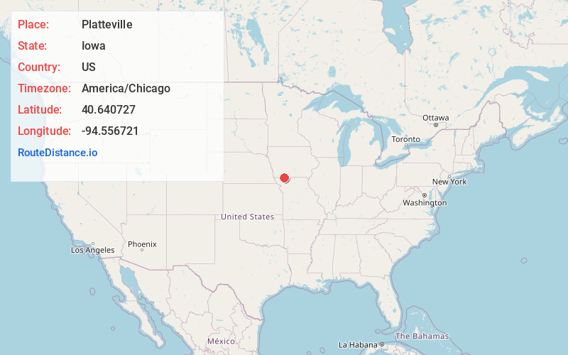
Full AddressPlatteville, IA 50836
-
Coordinates40.6407269, -94.5567209
-
LocationPlatteville , Iowa , US
-
TimezoneAmerica/Chicago
-
Current Local Time5:12:21 PM America/ChicagoMonday, June 23, 2025
-
Page Views0
Nearby Places
Found 10 places within 50 miles

Blockton
4.5 mi
7.2 km
Blockton, IA 50836
Get directions

Athelstan
4.8 mi
7.7 km
Athelstan, IA 50836
Get directions
Maloy
7.9 mi
12.7 km
Maloy, IA 50860
Get directions
Conway
8.1 mi
13.0 km
Conway, IA 50833
Get directions
Isadora
8.2 mi
13.2 km
Isadora, Union Township, MO 64456
Get directions

Bedford
8.8 mi
14.2 km
Bedford, IA 50833
Get directions

Sheridan
9.0 mi
14.5 km
Sheridan, MO 64486
Get directions

Redding
9.2 mi
14.8 km
Redding, IA 50860
Get directions
Irena
10.7 mi
17.2 km
Irena, MO 64456
Get directions
Taylor County
11.0 mi
17.7 km
Taylor County, IA
Get directions
Location Links
Local Weather
Weather Information
Coming soon!
Location Map
Static map view of Platteville, Iowa
Browse Places by Distance
Places within specific distances from Platteville
Short Distances
Long Distances
Click any distance to see all places within that range from Platteville. Distances shown in miles (1 mile ≈ 1.61 kilometers).