Distance to Pleasant Green, Missouri

Calculating Your Route
Just a moment while we process your request...
Location Information
-
Full AddressPleasant Green, Clear Creek Township, MO 65276
-
Coordinates38.8061306, -92.9626961
-
LocationClear Creek Township , Missouri , US
-
TimezoneAmerica/Chicago
-
Current Local Time7:54:11 AM America/ChicagoFriday, May 30, 2025
-
Page Views0
About Pleasant Green
Pleasant Green is an unincorporated community in Cooper County, in the U.S. state of Missouri. The community is adjacent to the Missouri–Kansas–Texas Railroad just north of Missouri Route 135.
Nearby Places
Found 10 places within 50 miles

Hoffman
2.8 mi
4.5 km
Hoffman, Clear Creek Township, MO 65276
Get directions
New Lebanon
3.2 mi
5.1 km
New Lebanon, Lebanon Township, MO 65237
Get directions

Clifton City
5.1 mi
8.2 km
Clifton City, MO 65348
Get directions

Pilot Grove
5.5 mi
8.9 km
Pilot Grove, MO 65276
Get directions
Bellair
6.6 mi
10.6 km
Bellair, MO 65276
Get directions
Otterville
7.7 mi
12.4 km
Otterville, MO 65348
Get directions

Bunceton
8.9 mi
14.3 km
Bunceton, MO 65237
Get directions
Chouteau Springs
9.0 mi
14.5 km
Chouteau Springs, MO 65233
Get directions
Postal
9.1 mi
14.6 km
Postal, Heath Creek Township, MO 65347
Get directions
Beaman
9.8 mi
15.8 km
Beaman, MO 65301
Get directions
Location Links
Local Weather
Weather Information
Coming soon!
Location Map
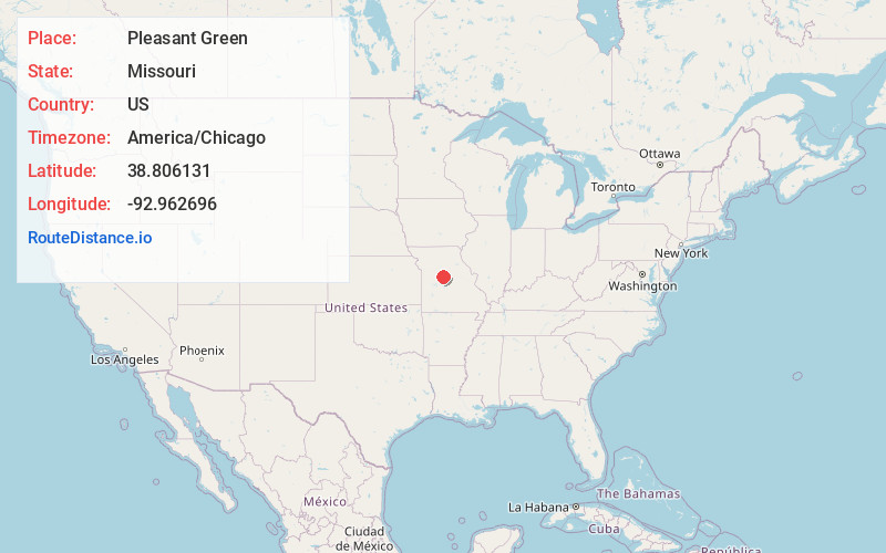
Static map view of Pleasant Green, Missouri
Browse Places by Distance
Places within specific distances from Pleasant Green
Short Distances
Long Distances
Click any distance to see all places within that range from Pleasant Green. Distances shown in miles (1 mile ≈ 1.61 kilometers).