Distance to Point Lobos, California

Calculating Your Route
Just a moment while we process your request...
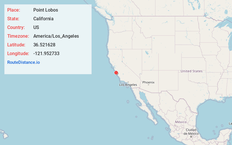
Location Information
-
Full AddressPoint Lobos, California 93923
-
Coordinates36.5216283, -121.9527333
-
LocationCalifornia , US
-
TimezoneAmerica/Los_Angeles
-
Current Local Time12:39:10 PM America/Los_AngelesFriday, June 27, 2025
-
Page Views0


Nearby Places
Found 10 places within 50 miles

Cypress Grove
0.1 mi
0.2 km
Cypress Grove, California 93923
Get directions

Carmel Highlands
1.7 mi
2.7 km
Carmel Highlands, CA 93923
Get directions

Carmel-By-The-Sea
2.8 mi
4.5 km
Carmel-By-The-Sea, CA 93921
Get directions

Hacienda Carmel
4.2 mi
6.8 km
Hacienda Carmel, CA 93923
Get directions
Quail Meadows
4.7 mi
7.6 km
Quail Meadows, CA 93923
Get directions

Monterey
6.1 mi
9.8 km
Monterey, CA
Get directions

Pacific Grove
6.9 mi
11.1 km
Pacific Grove, CA
Get directions

Del Rey Oaks
8.2 mi
13.2 km
Del Rey Oaks, CA 93940
Get directions
Rancho Tierra Grande
8.3 mi
13.4 km
Rancho Tierra Grande, CA 93923
Get directions

Sand City
8.8 mi
14.2 km
Sand City, CA
Get directions
Location Links
Local Weather
Weather Information
Coming soon!
Location Map
Static map view of Point Lobos, California
Browse Places by Distance
Places within specific distances from Point Lobos
Short Distances
Long Distances
Click any distance to see all places within that range from Point Lobos. Distances shown in miles (1 mile ≈ 1.61 kilometers).