Distance to Pomfret, Connecticut

Calculating Your Route
Just a moment while we process your request...
Location Information
-
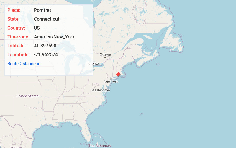
Full AddressPomfret, CT
-
Coordinates41.8975977, -71.9625736
-
LocationPomfret , Connecticut , US
-
TimezoneAmerica/New_York
-
Current Local Time7:39:33 PM America/New_YorkThursday, June 19, 2025
-
Page Views0
About Pomfret
Pomfret is a town located in Windham County, Connecticut, United States, with a population of 4,266 according to the 2020 United States Census. The town is part of the Northeastern Connecticut Planning Region. The town was incorporated in 1713 and was named after Pontefract in West Yorkshire, England.

Nearby Places
Found 10 places within 50 miles

Woodstock
3.6 mi
5.8 km
Woodstock, CT
Get directions

Roseland Park
3.7 mi
6.0 km
Roseland Park, Woodstock, CT 06281
Get directions

Putnam
4.8 mi
7.7 km
Putnam, CT
Get directions

Pineville
5.8 mi
9.3 km
Pineville, Killingly, CT 06241
Get directions

Killingly
5.9 mi
9.5 km
Killingly, CT
Get directions
Elmville
6.4 mi
10.3 km
Elmville, Killingly, CT 06239
Get directions
North Woodstock
6.7 mi
10.8 km
North Woodstock, Woodstock, CT 06281
Get directions
Quaddick
7.8 mi
12.6 km
Quaddick, Thompson, CT 06277
Get directions
Rawson
8.3 mi
13.4 km
Rawson, Hampton, CT 06247
Get directions

Ashford
8.4 mi
13.5 km
Ashford, CT 06278
Get directions
Location Links
Local Weather
Weather Information
Coming soon!
Location Map
Static map view of Pomfret, Connecticut
Browse Places by Distance
Places within specific distances from Pomfret
Short Distances
Long Distances
Click any distance to see all places within that range from Pomfret. Distances shown in miles (1 mile ≈ 1.61 kilometers).