Distance to Ponshewaing, Michigan

Calculating Your Route
Just a moment while we process your request...
Location Information
-
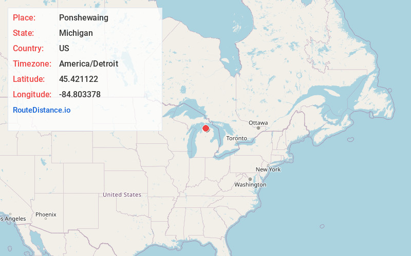
Full AddressPonshewaing, MI 49706
-
Coordinates45.4211219, -84.8033782
-
LocationPonshewaing , Michigan , US
-
TimezoneAmerica/Detroit
-
Current Local Time11:23:52 PM America/DetroitWednesday, July 2, 2025
-
Page Views0
About Ponshewaing
Ponshewaing is an unincorporated community and census-designated place in Emmet County in the U.S. state of Michigan. As of the 2010 census, the CDP had a population of 69. It is located within Littlefield Township.
Nearby Places
Found 10 places within 50 miles

Alanson
1.8 mi
2.9 km
Alanson, MI 49706
Get directions

Bay View
6.4 mi
10.3 km
Bay View, MI 49770
Get directions

Petoskey
8.2 mi
13.2 km
Petoskey, MI 49770
Get directions

Pellston
9.1 mi
14.6 km
Pellston, MI 49769
Get directions

Harbor Springs
9.2 mi
14.8 km
Harbor Springs, MI 49740
Get directions

Indian River
9.3 mi
15.0 km
Indian River, MI 49749
Get directions

Walloon Lake
12.4 mi
20.0 km
Walloon Lake, MI
Get directions

Wolverine
14.1 mi
22.7 km
Wolverine, MI 49799
Get directions

Bay Shore
15.0 mi
24.1 km
Bay Shore, MI
Get directions

Horton Bay
16.4 mi
26.4 km
Horton Bay, MI
Get directions
Location Links
Local Weather
Weather Information
Coming soon!
Location Map
Static map view of Ponshewaing, Michigan
Browse Places by Distance
Places within specific distances from Ponshewaing
Short Distances
Long Distances
Click any distance to see all places within that range from Ponshewaing. Distances shown in miles (1 mile ≈ 1.61 kilometers).