Distance to Wolverine, Michigan

Calculating Your Route
Just a moment while we process your request...
Location Information
-
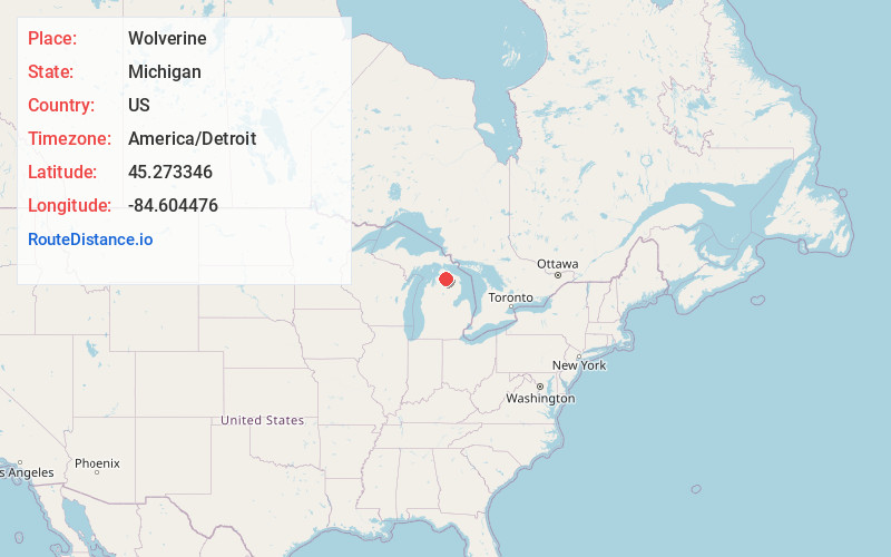
Full AddressWolverine, MI 49799
-
Coordinates45.2733463, -84.604476
-
LocationWolverine , Michigan , US
-
TimezoneAmerica/Detroit
-
Current Local Time5:01:00 PM America/DetroitFriday, June 20, 2025
-
Page Views0
About Wolverine
Wolverine is a village in Cheboygan County in the U.S. state of Michigan. The population was 244 at the 2010 census.
The village is mostly located within Nunda Township with a small portion extending west into Wilmot Township. It is located directly west of Interstate 75 about 40 miles south of the Mackinac Bridge.


Nearby Places
Found 10 places within 50 miles

Vanderbilt
9.4 mi
15.1 km
Vanderbilt, MI 49795
Get directions

Indian River
9.6 mi
15.4 km
Indian River, MI 49749
Get directions

Alanson
14.8 mi
23.8 km
Alanson, MI 49706
Get directions

Tower
15.8 mi
25.4 km
Tower, MI
Get directions

Walloon Lake
16.0 mi
25.7 km
Walloon Lake, MI
Get directions

Boyne Falls
16.8 mi
27.0 km
Boyne Falls, MI
Get directions

Gaylord
17.3 mi
27.8 km
Gaylord, MI 49735
Get directions

Petoskey
18.6 mi
29.9 km
Petoskey, MI 49770
Get directions

Onaway
19.4 mi
31.2 km
Onaway, MI 49765
Get directions

Boyne City
20.3 mi
32.7 km
Boyne City, MI 49712
Get directions
Location Links
Local Weather
Weather Information
Coming soon!
Location Map
Static map view of Wolverine, Michigan
Browse Places by Distance
Places within specific distances from Wolverine
Short Distances
Long Distances
Click any distance to see all places within that range from Wolverine. Distances shown in miles (1 mile ≈ 1.61 kilometers).