Distance to Pontoon, Arkansas

Calculating Your Route
Just a moment while we process your request...
Location Information
-
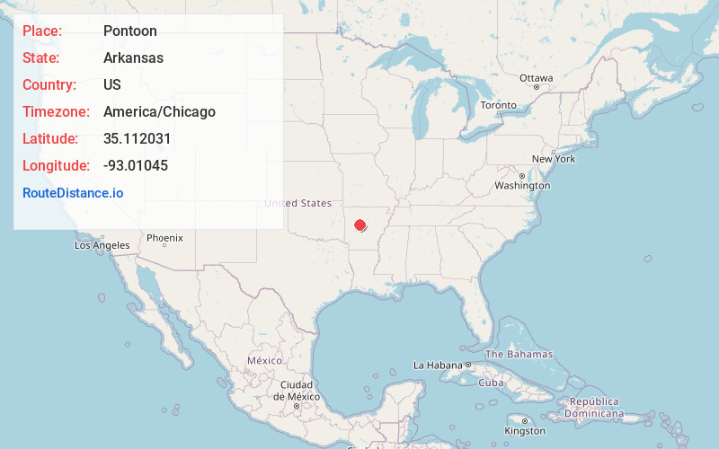
Full AddressPontoon, AR 72025
-
Coordinates35.112031, -93.01045
-
LocationPontoon , Arkansas , US
-
TimezoneAmerica/Chicago
-
Current Local Time8:46:07 PM America/ChicagoThursday, May 22, 2025
-
Page Views0
About Pontoon
Pontoon is an unincorporated community in Conway County, Arkansas, United States. Pontoon is located at the junction of Arkansas highways 154 and 247, 15.3 miles west-southwest of Morrilton.


Nearby Places
Found 10 places within 50 miles

Cotton Town
2.4 mi
3.9 km
Cotton Town, AR 72823
Get directions
Carden Bottoms
2.5 mi
4.0 km
Carden Bottoms, AR 72823
Get directions
Fowler
2.6 mi
4.2 km
Fowler, AR 72834
Get directions
New Neely
4.0 mi
6.4 km
New Neely, AR 72823
Get directions

Holla Bend
4.4 mi
7.1 km
Holla Bend, AR 72858
Get directions
Galla Rock
5.1 mi
8.2 km
Galla Rock, AR 72823
Get directions
Old Neely
5.4 mi
8.7 km
Old Neely, AR 72834
Get directions
Homewood
6.0 mi
9.7 km
Homewood, AR 72025
Get directions
Casa
6.5 mi
10.5 km
Casa, AR 72025
Get directions

Adona
8.1 mi
13.0 km
Adona, AR 72001
Get directions
Location Links
Local Weather
Weather Information
Coming soon!
Location Map
Static map view of Pontoon, Arkansas
Browse Places by Distance
Places within specific distances from Pontoon
Short Distances
Long Distances
Click any distance to see all places within that range from Pontoon. Distances shown in miles (1 mile ≈ 1.61 kilometers).