Distance to Poplar Corner, Arkansas

Calculating Your Route
Just a moment while we process your request...
Location Information
-
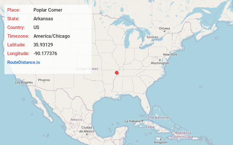
Full AddressPoplar Corner, AR 72438
-
Coordinates35.93129, -90.177376
-
LocationPoplar Corner , Arkansas , US
-
TimezoneAmerica/Chicago
-
Current Local Time5:54:24 PM America/ChicagoWednesday, June 4, 2025
-
Page Views0
About Poplar Corner
Poplar Corner is an unincorporated community in Mississippi County, Arkansas, United States. Poplar Corner is located at the junction of Arkansas highways 77 and 119, 3 miles north of Manila.
Nearby Places
Found 10 places within 50 miles

Buckeye
2.2 mi
3.5 km
Buckeye, AR 72438
Get directions

Manila
3.6 mi
5.8 km
Manila, AR 72442
Get directions
Pawheen
3.6 mi
5.8 km
Pawheen, AR 72438
Get directions
Garson
4.1 mi
6.6 km
Garson, AR 72438
Get directions
Clearwater
4.5 mi
7.2 km
Clearwater, Leachville, AR 72438
Get directions

Leachville
4.5 mi
7.2 km
Leachville, AR
Get directions
Big Lake
4.6 mi
7.4 km
Big Lake, Arkansas 72442
Get directions
Boynton
5.3 mi
8.5 km
Boynton, AR 72438
Get directions
Arkmo
6.0 mi
9.7 km
Arkmo, AR 72438
Get directions
Carmi
6.1 mi
9.8 km
Carmi, Leachville, AR 72438
Get directions
Location Links
Local Weather
Weather Information
Coming soon!
Location Map
Static map view of Poplar Corner, Arkansas
Browse Places by Distance
Places within specific distances from Poplar Corner
Short Distances
Long Distances
Click any distance to see all places within that range from Poplar Corner. Distances shown in miles (1 mile ≈ 1.61 kilometers).