Distance to Poplar Forest, Virginia

Calculating Your Route
Just a moment while we process your request...
Location Information
-
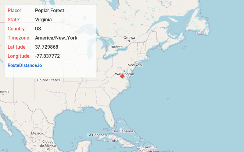
Full AddressPoplar Forest, VA 23102
-
Coordinates37.7298675, -77.8377724
-
LocationVirginia , US
-
TimezoneAmerica/New_York
-
Current Local Time2:29:20 AM America/New_YorkThursday, June 19, 2025
-
Page Views0
Nearby Places
Found 10 places within 50 miles

Perkinsville
1.3 mi
2.1 km
Perkinsville, VA 23102
Get directions
Dabneys
3.0 mi
4.8 km
Dabneys, VA 23102
Get directions
Oilville
3.4 mi
5.5 km
Oilville, VA
Get directions

Goochland
4.1 mi
6.6 km
Goochland, VA 23063
Get directions
Sandy Hook
4.4 mi
7.1 km
Sandy Hook, VA 23063
Get directions
Gum Spring
4.5 mi
7.2 km
Gum Spring, VA 23065
Get directions
Cardwell
4.6 mi
7.4 km
Cardwell, VA 23039
Get directions
Cedar Point
4.7 mi
7.6 km
Cedar Point, Goochland, VA 23063
Get directions
Holly Grove
4.7 mi
7.6 km
Holly Grove, VA 23024
Get directions
Maidens
4.8 mi
7.7 km
Maidens, VA 23102
Get directions
Location Links
Local Weather
Weather Information
Coming soon!
Location Map
Static map view of Poplar Forest, Virginia
Browse Places by Distance
Places within specific distances from Poplar Forest
Short Distances
Long Distances
Click any distance to see all places within that range from Poplar Forest. Distances shown in miles (1 mile ≈ 1.61 kilometers).