Distance to Port Chicago, California

Calculating Your Route
Just a moment while we process your request...
Location Information
-
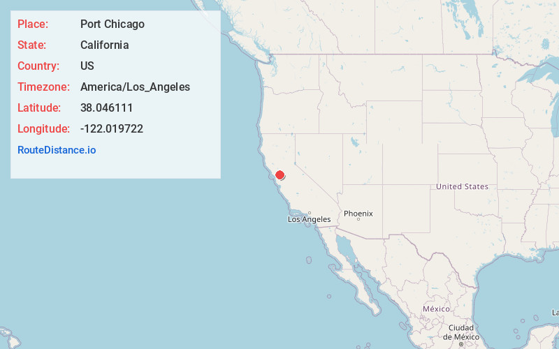
Full AddressPort Chicago, CA 94520
-
Coordinates38.046111, -122.019722
-
LocationPort Chicago , California , US
-
TimezoneAmerica/Los_Angeles
-
Current Local Time4:14:39 AM America/Los_AngelesFriday, June 13, 2025
-
Page Views0
About Port Chicago
Port Chicago was a town on the southern banks of Suisun Bay, in Contra Costa County, California. It was located 6.5 miles east-northeast of Martinez, at an elevation of 13 feet. It is best known as the site of a devastating explosion at its Naval Munitions Depot during World War II.

Nearby Places
Found 10 places within 50 miles

Clyde
1.5 mi
2.4 km
Clyde, CA 94520
Get directions
Nichols
1.8 mi
2.9 km
Nichols, CA 94565
Get directions
Avon
3.2 mi
5.1 km
Avon, CA 94553
Get directions
McAvoy
3.3 mi
5.3 km
McAvoy, Bay Point, CA 94565
Get directions

Bay Point
3.4 mi
5.5 km
Bay Point, CA
Get directions
Maltby
3.4 mi
5.5 km
Maltby, CA 94553
Get directions

Concord
4.5 mi
7.2 km
Concord, CA
Get directions
Vine Hill
4.7 mi
7.6 km
Vine Hill, CA 94553
Get directions

Pacheco
5.1 mi
8.2 km
Pacheco, CA
Get directions
Chipps
5.7 mi
9.2 km
Chipps, CA 94565
Get directions
Location Links
Local Weather
Weather Information
Coming soon!
Location Map
Static map view of Port Chicago, California
Browse Places by Distance
Places within specific distances from Port Chicago
Short Distances
Long Distances
Click any distance to see all places within that range from Port Chicago. Distances shown in miles (1 mile ≈ 1.61 kilometers).