Distance to Port of Hueneme, California

Calculating Your Route
Just a moment while we process your request...
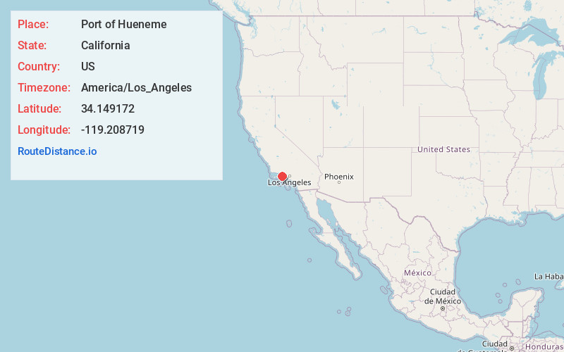
Location Information
-
Full AddressPort of Hueneme, Port Hueneme, CA 93041
-
Coordinates34.1491718, -119.208719
-
LocationPort Hueneme , California , US
-
TimezoneAmerica/Los_Angeles
-
Current Local Time6:43:52 AM America/Los_AngelesFriday, June 13, 2025
-
Page Views0
About Port of Hueneme
Deep water military & commercial cargo port on a 12-acre site with 5 berths open since 1940.


Nearby Places
Found 10 places within 50 miles

Port Hueneme
0.8 mi
1.3 km
Port Hueneme, CA
Get directions

Channel Islands Beach
1.0 mi
1.6 km
Channel Islands Beach, CA 93035
Get directions

Naval CBC Port Hueneme
1.4 mi
2.3 km
Naval CBC Port Hueneme, Oxnard, CA 93035
Get directions

Oxnard State Beach Park
2.5 mi
4.0 km
Oxnard State Beach Park, California
Get directions

Oxnard
3.8 mi
6.1 km
Oxnard, CA
Get directions

El Rio
6.9 mi
11.1 km
El Rio, CA 93036
Get directions

Leesdale
7.0 mi
11.3 km
Leesdale, CA 93033
Get directions

Ventura Harbor
7.4 mi
11.9 km
Ventura Harbor, Ventura, CA 93001
Get directions

Pierpont Bay
9.1 mi
14.6 km
Pierpont Bay, Ventura, CA
Get directions

Point Mugu
9.5 mi
15.3 km
Point Mugu, California 90265
Get directions
Location Links
Local Weather
Weather Information
Coming soon!
Location Map
Static map view of Port of Hueneme, California
Browse Places by Distance
Places within specific distances from Port of Hueneme
Short Distances
Long Distances
Click any distance to see all places within that range from Port of Hueneme. Distances shown in miles (1 mile ≈ 1.61 kilometers).