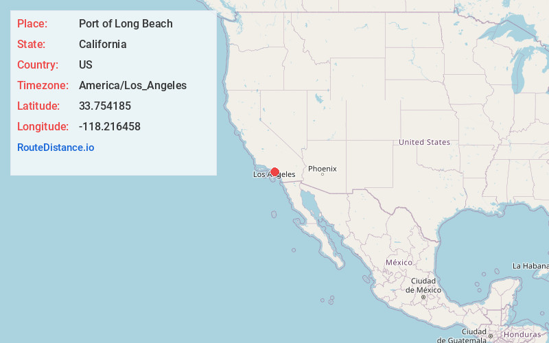
Distance to Port of Long Beach, California

Calculating Your Route
Just a moment while we process your request...
Location Information
-
Full AddressPort of Long Beach, Long Beach, CA 90802
-
Coordinates33.754185, -118.216458
-
NeighborhoodPort of Long Beach
-
LocationLong Beach , California , US
-
TimezoneAmerica/Los_Angeles
-
Current Local Time7:48:08 AM America/Los_AngelesSaturday, June 7, 2025
-
Page Views0
About Port of Long Beach
This bustling, 3,200-acre container port with 80 berths & 10 piers is a hub of US–Asia trade.


Nearby Places
Found 10 places within 50 miles

Long Beach
1.7 mi
2.7 km
Long Beach, CA
Get directions

Signal Hill
4.5 mi
7.2 km
Signal Hill, CA
Get directions

Dolores
5.5 mi
8.9 km
Dolores, Carson, CA 90810
Get directions
Harbor Hills
5.9 mi
9.5 km
Harbor Hills, Lomita, CA 90717
Get directions
Elftman
6.0 mi
9.7 km
Elftman, Carson, CA 90810
Get directions

Lomita
6.2 mi
10.0 km
Lomita, CA
Get directions
West Carson
6.4 mi
10.3 km
West Carson, CA
Get directions

Seal Beach
6.5 mi
10.5 km
Seal Beach, CA
Get directions

Carson
6.5 mi
10.5 km
Carson, CA
Get directions

Rossmoor
7.9 mi
12.7 km
Rossmoor, CA 90720
Get directions
Location Links
Local Weather
Weather Information
Coming soon!
Location Map
Static map view of Port of Long Beach, California
Browse Places by Distance
Places within specific distances from Port of Long Beach
Short Distances
Long Distances
Click any distance to see all places within that range from Port of Long Beach. Distances shown in miles (1 mile ≈ 1.61 kilometers).