Distance to Seal Beach, California

Calculating Your Route
Just a moment while we process your request...
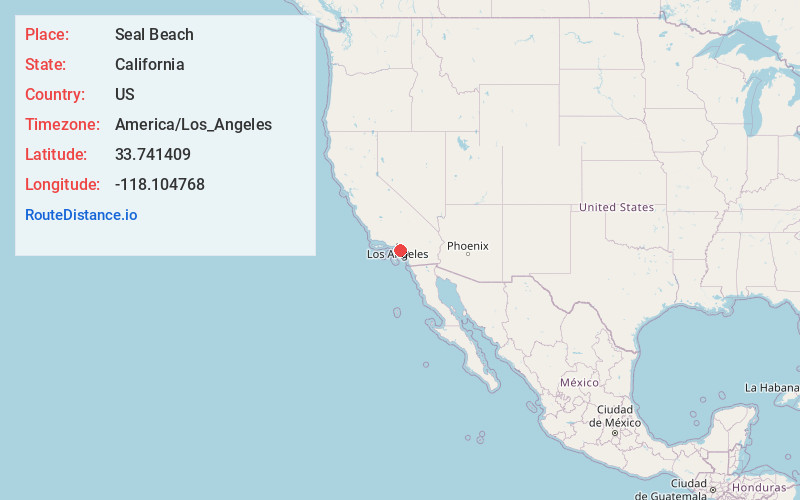
Location Information
-
Full AddressSeal Beach, CA
-
Coordinates33.7414085, -118.1047682
-
LocationSeal Beach , California , US
-
TimezoneAmerica/Los_Angeles
-
Current Local Time11:35:56 PM America/Los_AngelesSaturday, June 21, 2025
-
Website
-
Page Views0
About Seal Beach
Seal Beach is a coastal city in Orange County, California, United States. As of the 2020 census, the population was 25,242, up from 24,168 at the 2010 census.
Seal Beach is located in the westernmost corner of Orange County.


Nearby Places
Found 10 places within 50 miles

Long Beach
5.5 mi
8.9 km
Long Beach, CA
Get directions

Cypress
6.5 mi
10.5 km
Cypress, CA
Get directions

Westminster
6.7 mi
10.8 km
Westminster, CA
Get directions

Stanton
7.7 mi
12.4 km
Stanton, CA
Get directions

Lakewood
7.7 mi
12.4 km
Lakewood, CA
Get directions

Cerritos
8.9 mi
14.3 km
Cerritos, CA
Get directions

Fountain Valley
8.9 mi
14.3 km
Fountain Valley, CA 92708
Get directions

Bellflower
9.7 mi
15.6 km
Bellflower, CA 90706
Get directions

Garden Grove
9.8 mi
15.8 km
Garden Grove, CA
Get directions

Buena Park
10.6 mi
17.1 km
Buena Park, CA
Get directions
Location Links
Local Weather
Weather Information
Coming soon!
Location Map
Static map view of Seal Beach, California
Browse Places by Distance
Places within specific distances from Seal Beach
Short Distances
Long Distances
Click any distance to see all places within that range from Seal Beach. Distances shown in miles (1 mile ≈ 1.61 kilometers).