Distance to Signal Hill, California

Calculating Your Route
Just a moment while we process your request...
Location Information
-
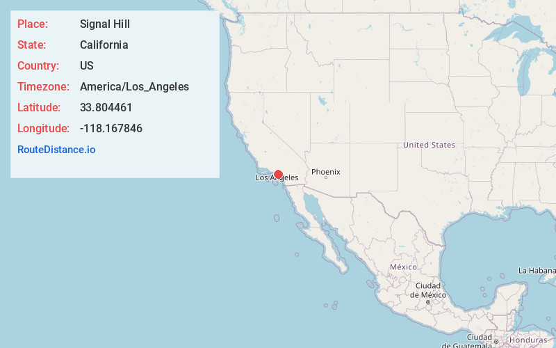
Full AddressSignal Hill, CA
-
Coordinates33.8044614, -118.1678456
-
LocationSignal Hill , California , US
-
TimezoneAmerica/Los_Angeles
-
Current Local Time6:18:22 PM America/Los_AngelesWednesday, June 18, 2025
-
Website
-
Page Views0
About Signal Hill
Signal Hill is a city 2.2 sq mi in area in Los Angeles County, California. Located high on a hill, the city is an enclave completely surrounded by the city of Long Beach. Signal Hill was incorporated on April 22, 1924, roughly three years after oil was discovered there.


Nearby Places
Found 10 places within 50 miles

Long Beach
2.8 mi
4.5 km
Long Beach, CA
Get directions

Lakewood
3.8 mi
6.1 km
Lakewood, CA
Get directions

Rossmoor
4.9 mi
7.9 km
Rossmoor, CA 90720
Get directions

Seal Beach
5.7 mi
9.2 km
Seal Beach, CA
Get directions

Hawaiian Gardens
5.8 mi
9.3 km
Hawaiian Gardens, CA
Get directions

Paramount
5.9 mi
9.5 km
Paramount, CA
Get directions

Bellflower
6.1 mi
9.8 km
Bellflower, CA 90706
Get directions

Artesia
6.5 mi
10.5 km
Artesia, CA 90701
Get directions

Carson
6.8 mi
10.9 km
Carson, CA
Get directions

Compton
7.1 mi
11.4 km
Compton, CA
Get directions
Location Links
Local Weather
Weather Information
Coming soon!
Location Map
Static map view of Signal Hill, California
Browse Places by Distance
Places within specific distances from Signal Hill
Short Distances
Long Distances
Click any distance to see all places within that range from Signal Hill. Distances shown in miles (1 mile ≈ 1.61 kilometers).