Distance to Port of Los Angeles, California

Calculating Your Route
Just a moment while we process your request...
Location Information
-
Full AddressPort of Los Angeles, Los Angeles, CA
-
Coordinates33.7365401, -118.264982
-
LocationLos Angeles , California , US
-
TimezoneAmerica/Los_Angeles
-
Current Local Time1:46:52 PM America/Los_AngelesMonday, May 19, 2025
-
Page Views0


Nearby Places
Found 10 places within 50 miles

Harbor Hills
4.2 mi
6.8 km
Harbor Hills, Lomita, CA 90717
Get directions

Long Beach
4.7 mi
7.6 km
Long Beach, CA
Get directions

Lomita
4.8 mi
7.7 km
Lomita, CA
Get directions
West Carson
6.1 mi
9.8 km
West Carson, CA
Get directions

Rolling Hills Estates
6.4 mi
10.3 km
Rolling Hills Estates, CA
Get directions

Abalone Cove Beach
6.6 mi
10.6 km
Abalone Cove Beach, Rancho Palos Verdes, CA 90275
Get directions

Carson
6.6 mi
10.6 km
Carson, CA
Get directions
Dolores
7.0 mi
11.3 km
Dolores, Carson, CA 90810
Get directions

Rancho Palos Verdes
7.0 mi
11.3 km
Rancho Palos Verdes, CA
Get directions

Signal Hill
7.3 mi
11.7 km
Signal Hill, CA
Get directions
Location Links
Local Weather
Weather Information
Coming soon!
Location Map
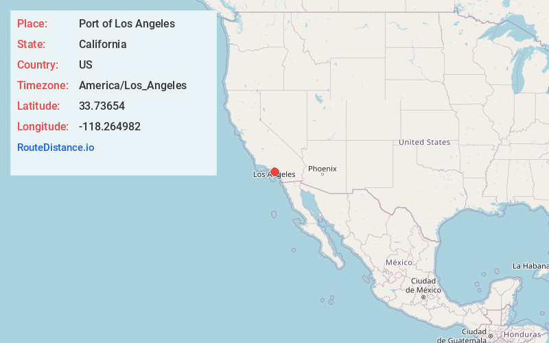
Static map view of Port of Los Angeles, California
Browse Places by Distance
Places within specific distances from Port of Los Angeles
Short Distances
Long Distances
Click any distance to see all places within that range from Port of Los Angeles. Distances shown in miles (1 mile ≈ 1.61 kilometers).