Distance to Port Sheldon Township, Michigan

Calculating Your Route
Just a moment while we process your request...
Location Information
-
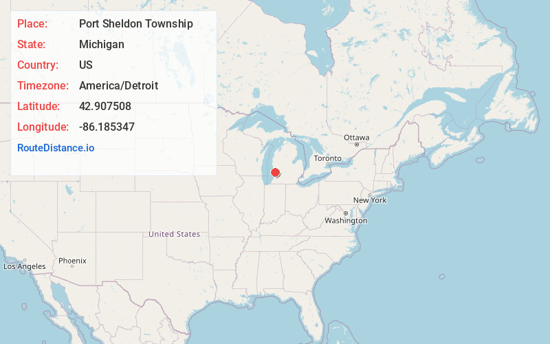
Full AddressPort Sheldon Township, MI
-
Coordinates42.907508, -86.1853474
-
LocationPort Sheldon Township , Michigan , US
-
TimezoneAmerica/Detroit
-
Current Local Time12:27:59 AM America/DetroitFriday, June 27, 2025
-
Page Views0
About Port Sheldon Township
Port Sheldon Township is a civil township of Ottawa County in the U.S. state of Michigan. As of the 2020 census, the township population was 5,206.

Nearby Places
Found 10 places within 50 miles

Port Sheldon
0.9 mi
1.4 km
Port Sheldon, MI 49460
Get directions

West Olive
2.2 mi
3.5 km
West Olive, MI 49460
Get directions

Olive Township
3.5 mi
5.6 km
Olive Township, MI
Get directions
Agnew
4.0 mi
6.4 km
Agnew, MI 49460
Get directions
Harlem
4.4 mi
7.1 km
Harlem, Olive Township, MI 49424
Get directions
Olive Center
5.3 mi
8.5 km
Olive Center, Olive Township, MI 49424
Get directions
Crisp
5.5 mi
8.9 km
Crisp, Olive Township, MI 49424
Get directions

Ottawa County
5.6 mi
9.0 km
Ottawa County, MI
Get directions
New Holland
6.5 mi
10.5 km
New Holland, Holland Township, MI 49424
Get directions

Grand Haven Township
6.5 mi
10.5 km
Grand Haven Township, MI
Get directions
Location Links
Local Weather
Weather Information
Coming soon!
Location Map
Static map view of Port Sheldon Township, Michigan
Browse Places by Distance
Places within specific distances from Port Sheldon Township
Short Distances
Long Distances
Click any distance to see all places within that range from Port Sheldon Township. Distances shown in miles (1 mile ≈ 1.61 kilometers).